
Data Processing & Production
Orthophotos
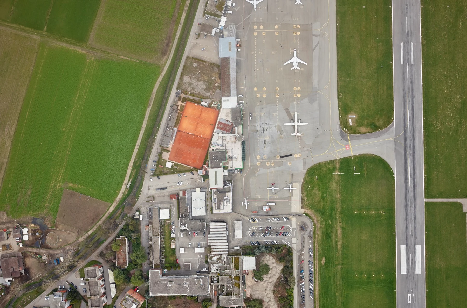
Project-specific orthophoto production from aerial and UAV imagery, from sub-centimetre local mapping to regional coverage, with resolution, spectral content and processing depth selected for the intended use.
about 0.5 cm to 0.5 mTypical spatial resolutionTypical range; depends on the project.
What we do
Orthophotos matched to resolution, spectrum and delivery speed
MapSoft produces orthophotos from very high-resolution site imagery to large-area aerial mapping, with spatial resolutions typically ranging from about 0.5 cm to 0.5 m. Products can be prepared as natural-colour RGB, four-band RGB+NIR, CIR, NIR and derived vegetation products such as NDVI or GNDVI where the source data supports them.
The production level is selected for the intended use and schedule: rapid working orthophoto, fully controlled clean orthophoto, or true orthophoto for demanding built-up environments. Geometry, radiometry and final formats are adapted to the client’s workflow.
Where it is used
Built around the project context.
Cadastre and land administration
Urban and municipal mapping
Vegetation and environmental analysis
Change documentation and interpretation
Web GIS and spatial-data infrastructure
Delivery profiles
The method and product level follow the intended use.
Rapid orthophoto
Produced primarily through automated procedures to provide early spatial context and working imagery. Where acquisition and project conditions allow, this level can be available roughly within a week after completion of the flight.
Clean orthophoto
Uses a verified terrain/surface model, controlled seamlines and additional geometric and radiometric review. Processing takes longer but reduces visible artefacts and provides a higher-quality final mapping base.
True orthophoto
Uses detailed 3D surface / building information to reduce building lean and image occlusions. The result improves positional representation of roofs, streets and other surface elements in dense built environments.
Options
Spectral products
Projects
All matching projects→Capability proven through realized work.
 Integrated
Herceg Novi Geospatial Data & Solar Potential Geoportal
A two-phase municipal programme connecting city-scale airborne LiDAR and four-band aerial imagery, structured roof/building solar-potential data and real browser-based 2D/3D Geoportal interfaces.
3,484 haFinal survey footprint
View project → Geospatial
Belgrade Bypass Sector C — Digital Topographic Foundations
A major road–rail infrastructure mapping project combining airborne LiDAR, aerial photogrammetry, field control, direct georeferencing, point-cloud processing, terrain modelling, orthophoto and detailed 1:1,000 CAD-ready topographic production.
~3,400 haDocumented final realization area
View project → Geospatial
Krupanj / Likodra River Basin — Geospatial Survey for Flood & Erosion Protection
A two-phase engineering geospatial survey combining basin-scale airborne LiDAR/photogrammetry and hydraulic field measurements with a later high-detail UAV LiDAR and topographic follow-up in the Bogoštica sub-basin.
1,882 haPhase 1 survey footprint
View project → Geospatial
Bački Petrovac Cadastral Renewal & Land Consolidation
Whole-cadastral-municipality transformation combining cadastral renewal, historical-plan digitization, high-resolution photogrammetry, digital cadastral/topographic databases and technically governed land consolidation.
13,463 parcelsAgricultural parcels before consolidation
View project → Geospatial
Belgrade–Niš Railway — Engineering Geospatial Foundation
Specialist geodetic and geospatial work supporting railway modernization through a unified reference framework, an engineering survey network, airborne LiDAR and aerial imaging, field and tunnel survey, 1:1,000 engineering products and confirmed land-expropriation design packages.
235 kmRailway corridor length
View project →MapSoft
Talk to our team→