Detailed engineering sites
Topography, structures, cuttings, embankments and local design areas.

High-resolution LiDAR and aerial imaging for detailed terrain, structures, archaeology, engineering sites and areas that demand flexible local acquisition.
MapSoft uses UAV LiDAR and photogrammetry for sites where high detail, flexible mobilisation and close-range capture are more important than large-area aircraft productivity. Missions support engineering, archaeology, environmental mapping, construction sites and other local or corridor tasks.
Flight planning, RTK/GNSS control, LiDAR/RGB capture and processing are configured around accuracy, vegetation, terrain, required density and final products. The workflow can produce dense point clouds, high-resolution orthophotos and terrain models while retaining the flexibility to revisit or extend specific areas quickly.
Topography, structures, cuttings, embankments and local design areas.
Dense 3D capture where geometry is difficult to observe from the ground.
Terrain-under-vegetation evidence and high-resolution site context.
Focused acquisition within larger airborne, river or infrastructure programmes.
Area, terrain, vegetation, access, permissions and required products.
Orientation/control points, flight plan and acquisition geometry.
Coordinated 3D and image acquisition with RTK-capable platform.
Georeferencing, strip adjustment, colourisation and classification.
Orthophoto, DTM, point cloud, vectors and specialist analysis.
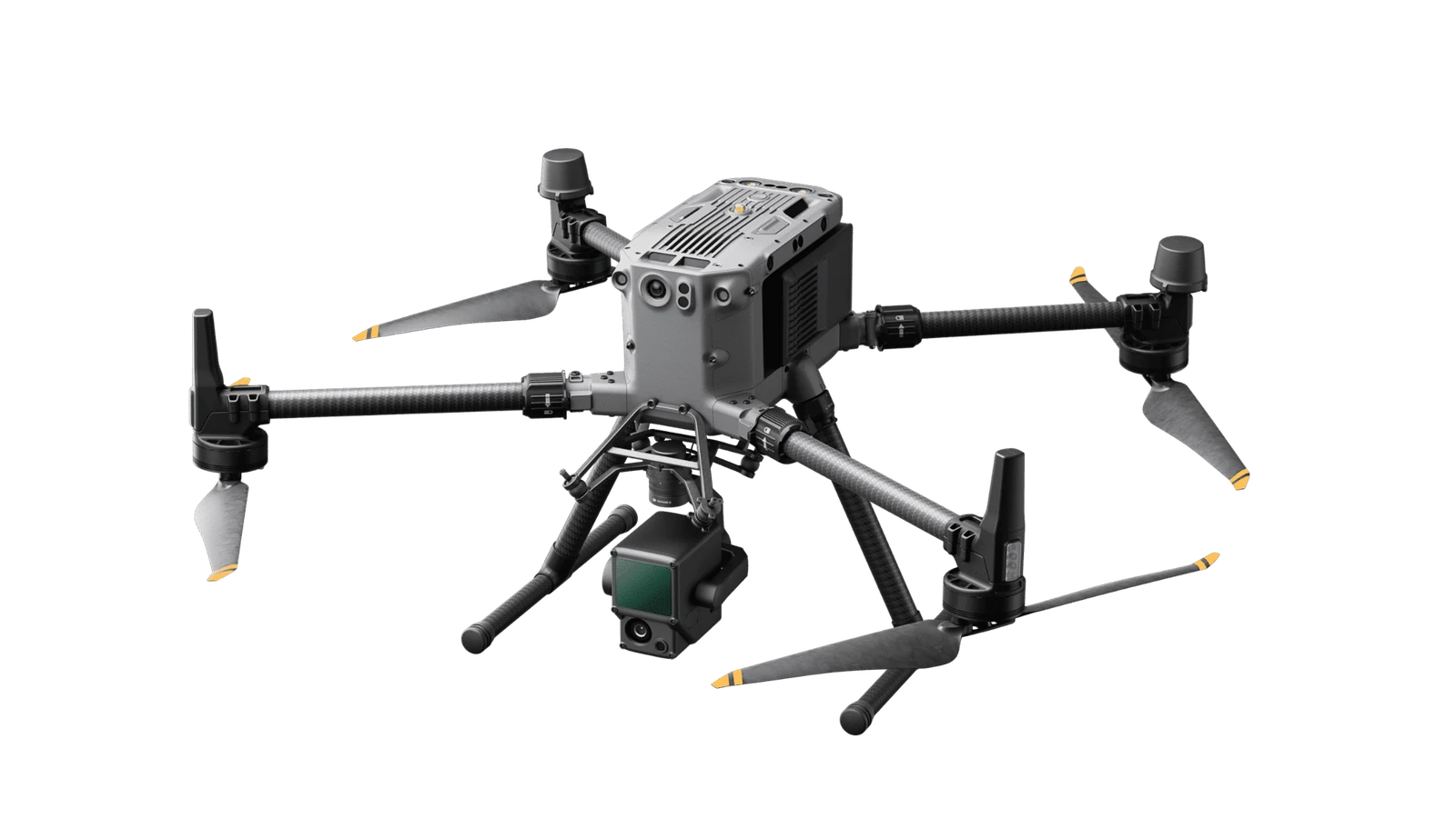
MapSoft uses the Matrice 350 RTK as a professional field platform for planned area and corridor missions. Its role is to provide a stable, repeatable and RTK-capable acquisition platform for LiDAR and RGB workflows in demanding field conditions.
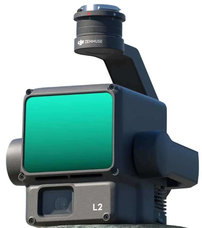
The integrated LiDAR, positioning and RGB sensor supports dense three-dimensional capture together with imagery. In MapSoft workflows it is used for point-cloud production, terrain extraction, colourisation, orthophoto generation and detailed interpretation.
Dense local 3D datasets
Ground and project-specific classes
Visual and measurement context
Bare-earth terrain representation
Mapped and interpreted features
High point density alone is not enough; the dataset must be spatially controlled and internally consistent.
 Geospatial
A high-density UAV LiDAR and RGB project across four archaeological sites, producing classified point clouds, 2 cm orthophotos, 10 cm terrain models and confidence-qualified interpretation vectors.
4 sitesArchaeological sites
View project → Geospatial
Large-scale multisensor river mapping integrating airborne LiDAR, vessel-based mobile mapping, UAV mapping and multibeam bathymetry into a seamless engineering-ready geospatial foundation for navigation, hydraulic and morphological analysis.
661 kmRiver channels surveyed
View project → Geospatial
A high-resolution urban 3D survey combining UAV and mobile LiDAR, GNSS control, point-cloud processing and CityGML LoD2 modelling to create a validated spatial foundation for circular-construction and building-stock research.
38 missionsUAV flight missions
View project → Integrated
A focused protected-park project combining UAV reality capture, a 2 cm orthophoto, migration of historical CAD/Excel/vegetation information into a structured SQLite spatial database and an installed QGIS environment for practical park-data management.
17.9 haProject area
View project → Geospatial
A two-phase engineering geospatial survey combining basin-scale airborne LiDAR/photogrammetry and hydraulic field measurements with a later high-detail UAV LiDAR and topographic follow-up in the Bogoštica sub-basin.
1,882 haPhase 1 survey footprint
View project →