What we do
Cartographic products for print, digital workflows and the web
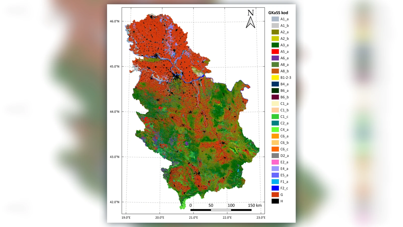
MapSoft creates thematic maps and imagery-based cartographic products for individual sites, municipalities, corridors and larger territories. Content can combine aerial or satellite imagery, field information, vector datasets, terrain products and thematic databases, with scale, generalization, symbolization and layout adapted to the purpose.
Outputs can be prepared for high-quality print, digital GIS/CAD use or online publication in a wide range of vector and raster formats. Where coverage, currency and rights permit, MapSoft’s existing geospatial data archive can also support thematic-map production and updates.