
Data Processing & Production
3D Models
Vector, semantic and visual 3D representations of buildings, infrastructure, terrain, vegetation and other physical features, produced at a level of detail and data structure suited to the intended engineering, GIS or visualization workflow.
What we do
3D geometry structured for the intended use
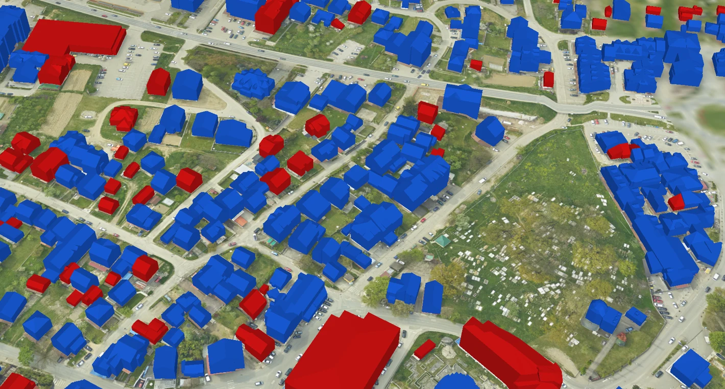
MapSoft creates 3D representations ranging from terrain and mesh visualizations to structured vector models of buildings and infrastructure. Model type, level of detail and semantics are selected according to whether the result is intended for visualization, planning, analysis, GIS integration, engineering or downstream digital-twin applications.
Vector models can be organized at LoD1, LoD2 and higher-detail levels and exported to interoperable formats such as OGC CityGML. Object IDs and project-specific attributes can be attached directly or enriched through spatial matching with other authoritative data sources.
Where it is used
Built around the project context.
Infrastructure and corridor models
Urban planning and solar analysis
Engineering visualization
Research and simulation foundations
GIS / digital-twin spatial foundations
Delivery profiles
The method and product level follow the intended use.
LoD building & infrastructure models
Structured object geometry with IDs and attributes for GIS, CityGML, analysis, planning and interoperable 3D workflows.
3D mesh models
Dense surface representation for visualization and interpretation of terrain, buildings, vegetation and other visible features.
3D spatial foundations
Models enriched with external data and prepared for downstream operational platforms, simulation or digital-twin applications where the wider system justifies that use.
Projects
All matching projects→Capability proven through realized work.
 Geospatial
CIRC-BOOST Belgrade — 3D Building Survey for Circular-Construction Research
A high-resolution urban 3D survey combining UAV and mobile LiDAR, GNSS control, point-cloud processing and CityGML LoD2 modelling to create a validated spatial foundation for circular-construction and building-stock research.
38 missionsUAV flight missions
View project → Integrated
Herceg Novi Geospatial Data & Solar Potential Geoportal
A two-phase municipal programme connecting city-scale airborne LiDAR and four-band aerial imagery, structured roof/building solar-potential data and real browser-based 2D/3D Geoportal interfaces.
3,484 haFinal survey footprint
View project → Integrated
Belgrade Air Quality GIS
A city-scale environmental decision-support system integrating measurements, spatial predictors, validated NO2 prediction models, desktop GIS workflows, Web GIS and reporting for environmental protection and spatial planning.
6,328 measurementsNO2 measurements
View project →MapSoft
Talk to our team→