
Data Processing & Production
Topographic & Engineering Data
High-accuracy vector, terrain and profile data produced around the client’s design and engineering specification, with acquisition sources, feature content, database structure and delivery formats optimized for each project.
What we do
Engineering-ready vector data from the right combination of sources
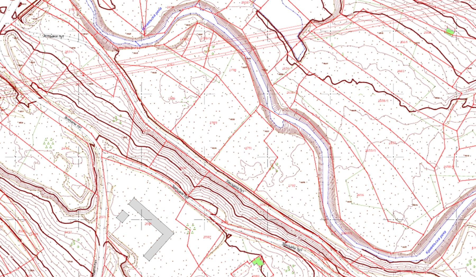
MapSoft produces digital topographic plans, engineering base data, breaklines, profiles, contours and structured vector datasets for design and construction. Stereorestitution, LiDAR, UAV/mobile mapping, terrestrial survey, GNSS control and existing CAD/GIS sources can be combined so that accuracy, completeness and production effort match the project requirement.
Feature content, coding, attributes, layer structure, DTM participation rules and delivery formats are defined around the client’s specification. For large-scale vector production, controlled geometry and thematic attributes are managed together so multiple engineering and cartographic outputs can be generated consistently from one authoritative dataset.
Where it is used
Built around the project context.
Tunnel, bridge and structure design
River and hydraulic engineering
Mining and industrial infrastructure
Large-scale municipal / cadastral mapping
Expropriation and land-related engineering workflows
How we work
A controlled path from requirement to delivery.
Stereo imagery, LiDAR, mobile/UAV data, field survey and existing datasets.
Feature geometry collected and checked against source measurements.
Geometry and thematic attributes managed together in a unified production database.
DTM, plans, profiles, contours and other products generated as required.
Project-specific CAD/GIS formats, layer standards, metadata and QA/QC.
Projects
All matching projects→Capability proven through realized work.
 Geospatial
Belgrade Bypass Sector C — Digital Topographic Foundations
A major road–rail infrastructure mapping project combining airborne LiDAR, aerial photogrammetry, field control, direct georeferencing, point-cloud processing, terrain modelling, orthophoto and detailed 1:1,000 CAD-ready topographic production.
~3,400 haDocumented final realization area
View project → Geospatial
Belgrade–Niš Railway — Engineering Geospatial Foundation
Specialist geodetic and geospatial work supporting railway modernization through a unified reference framework, an engineering survey network, airborne LiDAR and aerial imaging, field and tunnel survey, 1:1,000 engineering products and confirmed land-expropriation design packages.
235 kmRailway corridor length
View project → Geospatial
Krupanj / Likodra River Basin — Geospatial Survey for Flood & Erosion Protection
A two-phase engineering geospatial survey combining basin-scale airborne LiDAR/photogrammetry and hydraulic field measurements with a later high-detail UAV LiDAR and topographic follow-up in the Bogoštica sub-basin.
1,882 haPhase 1 survey footprint
View project → Geospatial
Cadastral-Topographic Mapping for Mining Infrastructure Development
A five-year on-demand geospatial framework for certified cadastral-topographic plans supporting successive mine-infrastructure design and permit-preparation packages in the Bor area.
25 assignmentsDelivered assignments
View project → Geospatial
Bački Petrovac Cadastral Renewal & Land Consolidation
Whole-cadastral-municipality transformation combining cadastral renewal, historical-plan digitization, high-resolution photogrammetry, digital cadastral/topographic databases and technically governed land consolidation.
13,463 parcelsAgricultural parcels before consolidation
View project →MapSoft
Talk to our team→