Transport corridors
Railways, roads and associated engineering zones.

Integrated airborne LiDAR and calibrated aerial imaging for large territories, infrastructure corridors and technically demanding mapping programmes.
MapSoft plans and executes airborne LiDAR and aerial-imaging campaigns for large territories, infrastructure corridors, rivers, urban areas and land-management projects. Mission design starts from the required product — coverage, accuracy, point density, GSD, control and final use — so acquisition is configured around the project rather than a fixed flight pattern.
LiDAR, calibrated RGB/NIR imagery and GNSS/INS positioning are coordinated with downstream georeferencing, classification, terrain modelling and orthophoto production. The result is one controlled acquisition workflow able to move efficiently from flight operations to engineering-ready spatial data.
Railways, roads and associated engineering zones.
Wide terrain capture integrated with banks, bridges and bathymetry.
High-resolution imagery, LiDAR and building/terrain foundations.
Orthophoto, terrain, vegetation and cadastral-support datasets.
Coverage, accuracy, GSD, point density, datum and final outputs.
Flight blocks or corridors, overlap, control and operational constraints.
Simultaneous LiDAR and aerial imaging with direct positioning.
Trajectory processing, strip adjustment, aerial triangulation and checks.
Point clouds, terrain models, orthophotos and engineering-ready datasets.
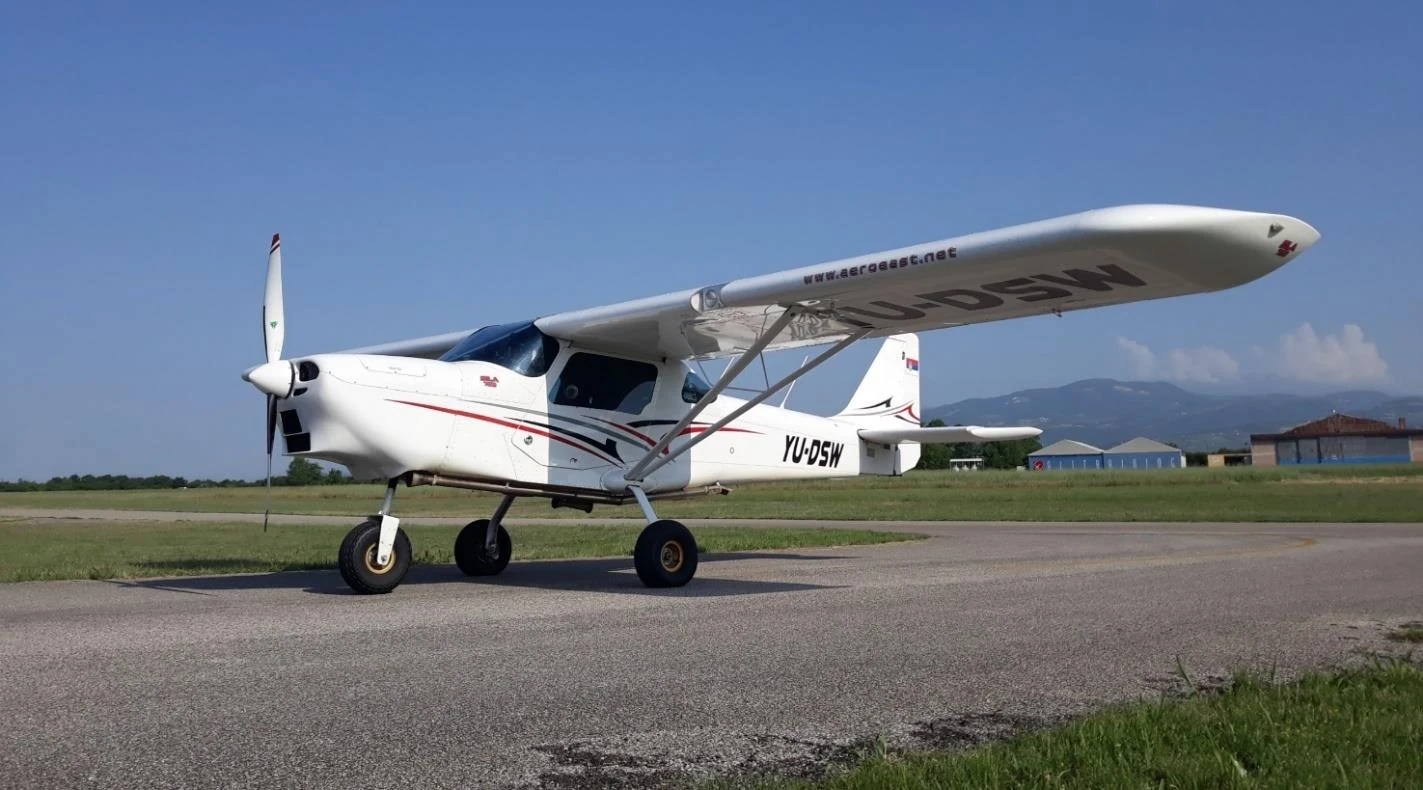
MapSoft's airborne survey platform supports coordinated LiDAR and aerial-imaging missions over large areas and long corridors. Its role is to provide a stable operational platform for integrated sensor acquisition and repeatable project execution.
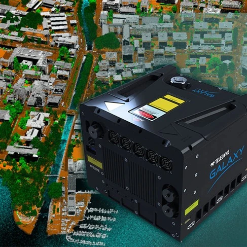
The primary airborne laser-scanning system is used to create dense 3D measurements of terrain, vegetation, infrastructure and other surface features. LiDAR acquisition is integrated with direct positioning and downstream strip-adjustment and classification workflows.
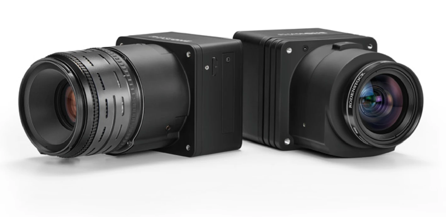
Calibrated aerial imagery is acquired as a metric mapping source and, where required, as a complementary RGB/NIR dataset. Imaging and LiDAR can be collected within the same campaign to support orthophoto, interpretation and multisource production.
LAS / project-specific structures
RGB and, where required, NIR
Terrain and surface models
Engineering-ready mapping
Buildings, corridors and city models
Quality control combines airborne-system checks with independent spatial control and production-stage validation.
 Geospatial
Specialist geodetic and geospatial work supporting railway modernization through a unified reference framework, an engineering survey network, airborne LiDAR and aerial imaging, field and tunnel survey, 1:1,000 engineering products and confirmed land-expropriation design packages.
235 kmRailway corridor length
View project → Geospatial
Large-scale multisensor river mapping integrating airborne LiDAR, vessel-based mobile mapping, UAV mapping and multibeam bathymetry into a seamless engineering-ready geospatial foundation for navigation, hydraulic and morphological analysis.
661 kmRiver channels surveyed
View project → Geospatial
A major road–rail infrastructure mapping project combining airborne LiDAR, aerial photogrammetry, field control, direct georeferencing, point-cloud processing, terrain modelling, orthophoto and detailed 1:1,000 CAD-ready topographic production.
~3,400 haDocumented final realization area
View project → Geospatial
A secure, large-area airborne LiDAR and aerial-imaging campaign producing a quality-controlled terrain and imagery baseline for technical investigation of a strategic energy site in Thrace.
2,000 km²Approximate survey area
View project → Integrated
An operational municipal geospatial platform combining accepted citywide orthophoto and LiDAR with four specialist applications, client-enabled thematic publishing and continuing MapSoft maintenance and technical support.
29 entriesPublic thematic GIS entries
View project →