
Data Processing & Production
Digital Terrain & Surface Models
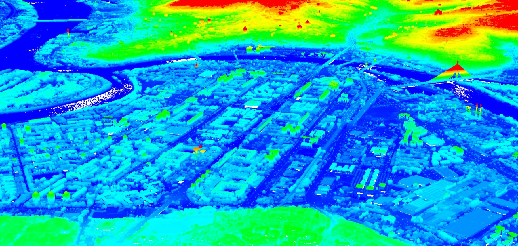
Terrain, surface and engineering models produced at the processing level, resolution and geometric complexity required for design, hydrology, analysis, visualization and downstream modelling.
What we do
Terrain and surface models matched to accuracy and geometry
MapSoft produces DTM, DSM, TIN, grid, contour and project-specific 3D surfaces from LiDAR, photogrammetry, field survey and existing topographic data. Processing depth is selected according to vertical-accuracy requirements, terrain complexity, output resolution and the role of the model in engineering or analysis.
Automated ground classification supports efficient production, while high-accuracy models can add manual ground correction, stereoscopic breakline mapping and field-measured detail. Outputs can be delivered as raster or TIN-based surfaces, including true 3D representations where inverted or multi-valued geometry cannot be represented reliably by a conventional 2.5D model.
Where it is used
Built around the project context.
Hydraulic and morphological modelling
Flood and drainage analysis
Volume and earthworks calculations
Orthophoto production
Terrain visualization and archaeological interpretation
Delivery profiles
The method and product level follow the intended use.
Automated / rapid modelling
Automated / rapid modelling
- Automatic extraction of ground points from the point cloud
- Filtering and interpolation
- Raster or TIN generation
- Rapid QA against available controls
High-accuracy modelling
High-accuracy modelling
- Manual ground-class review and correction
- Breakline mapping from imagery and/or field data
- Targeted handling of bridges, banks, structures and complex terrain
- Independent geometric and surface-consistency checks
Options
Output types
Projects
All matching projects→Capability proven through realized work.
 Geospatial
Danube & Sava River Mapping
Large-scale multisensor river mapping integrating airborne LiDAR, vessel-based mobile mapping, UAV mapping and multibeam bathymetry into a seamless engineering-ready geospatial foundation for navigation, hydraulic and morphological analysis.
661 kmRiver channels surveyed
View project → Geospatial
Belgrade Bypass Sector C — Digital Topographic Foundations
A major road–rail infrastructure mapping project combining airborne LiDAR, aerial photogrammetry, field control, direct georeferencing, point-cloud processing, terrain modelling, orthophoto and detailed 1:1,000 CAD-ready topographic production.
~3,400 haDocumented final realization area
View project → Geospatial
Prijepolje Archaeological LiDAR — UAV Mapping & Interpretation of Four Sites
A high-density UAV LiDAR and RGB project across four archaeological sites, producing classified point clouds, 2 cm orthophotos, 10 cm terrain models and confidence-qualified interpretation vectors.
4 sitesArchaeological sites
View project → Geospatial
Krupanj / Likodra River Basin — Geospatial Survey for Flood & Erosion Protection
A two-phase engineering geospatial survey combining basin-scale airborne LiDAR/photogrammetry and hydraulic field measurements with a later high-detail UAV LiDAR and topographic follow-up in the Bogoštica sub-basin.
1,882 haPhase 1 survey footprint
View project → Geospatial
Bački Petrovac Cadastral Renewal & Land Consolidation
Whole-cadastral-municipality transformation combining cadastral renewal, historical-plan digitization, high-resolution photogrammetry, digital cadastral/topographic databases and technically governed land consolidation.
13,463 parcelsAgricultural parcels before consolidation
View project →MapSoft
Talk to our team→