3D city
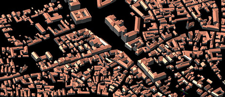
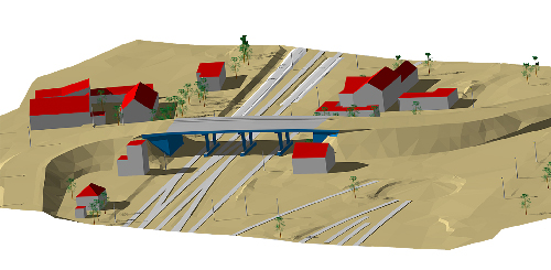
3D city models are digital models of urban areas that represent terrain surfaces, sites, buildings, vegetation, infrastructure and landscape elements in three-dimensional scale as well as related objects (e.g., city furniture) belonging to urban areas. Their components are described and represented by corresponding two-dimensional and three-dimensional spatial data and georeferenced data.
There is no single, unique representation schema due to the heterogeneity and diversity of 3D city model contents. MapSoft can build the 3D city model according to user requirements. The user only needs to specify the objects of interest, the level of details (LOD) and the accuracy of each object type.
In addition to geometric data, objects can be assigned descriptive data such as: usage method, house number, number of floors (for buildings) or type, maintenance method (for trees), etc.
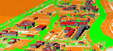
3D modeling of the city is very large and complex task. For this reason, a very important role is played by the automation of the entire process. By combining various data sources (LiDAR, aerial images and field work) with techniques for digital image processing impressive results can be obtained in the automation of the geometric and descriptive data for modeling.Specification
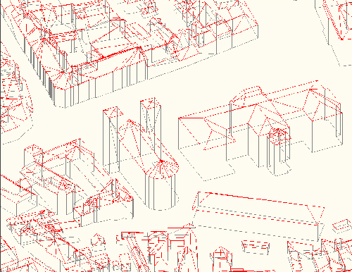
- City GML file format: LOD1, LOD2, LOD 2.1, LOD 2.2
- CAD file formats – the content divided into layers (for example, buildings: roof, walls, base)
- Accuracy according to LOD
- An ideal platform for visualization of data from other information systems or any other information source
- Platform for Smart city solutions
- By adding time attributes allows tracking of objects over the time
Applications
- Urbanism and spatial planning
- Tourism
- Insurance
- Real estates
- Environmental protection
- Telecommunication


