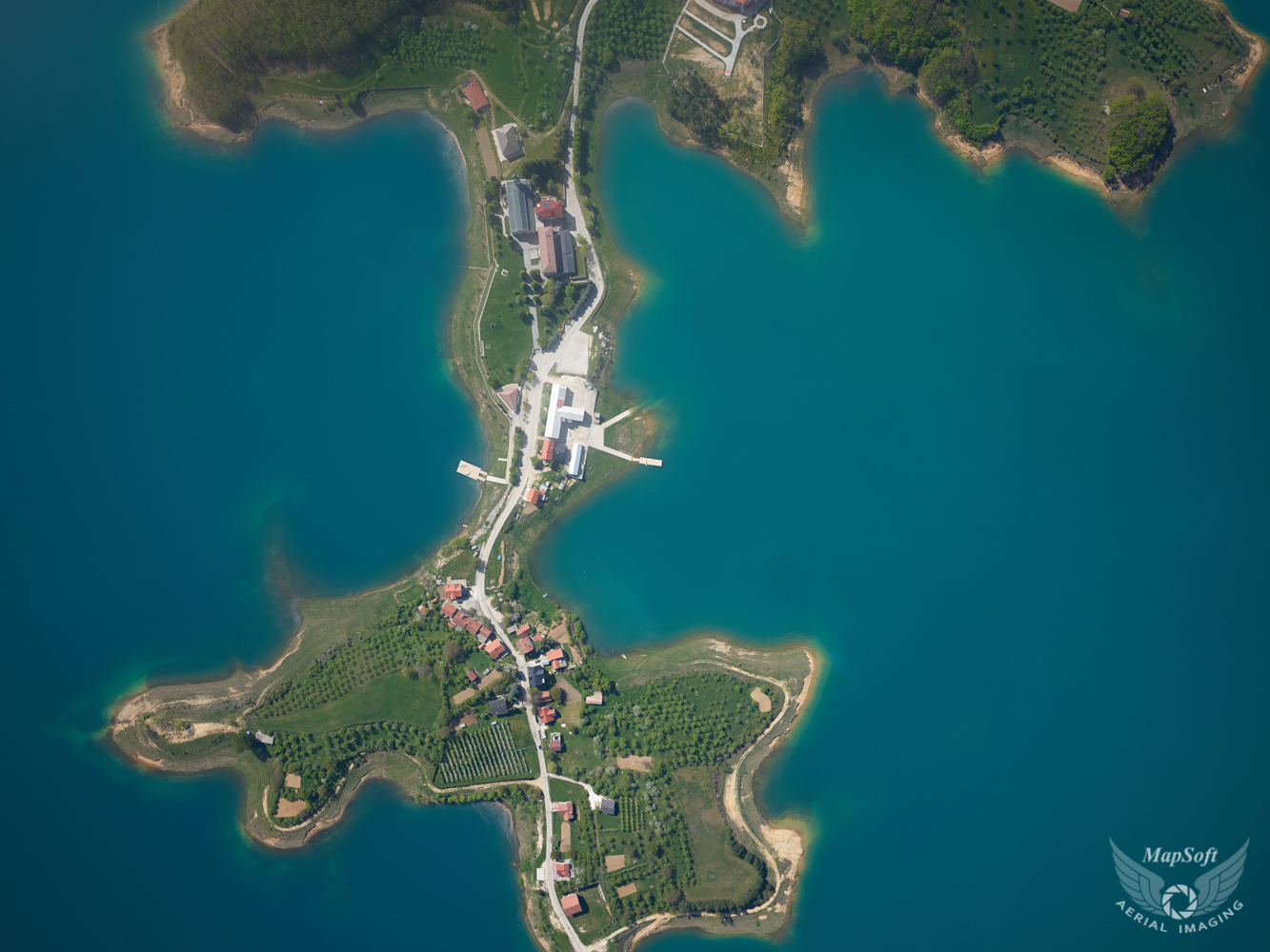
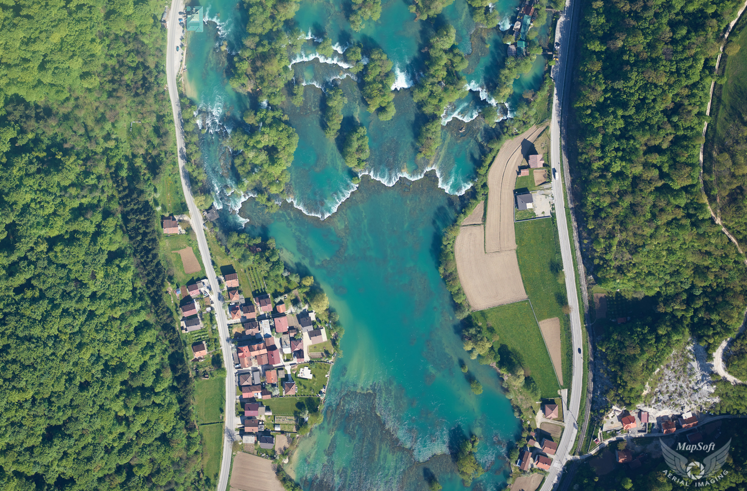
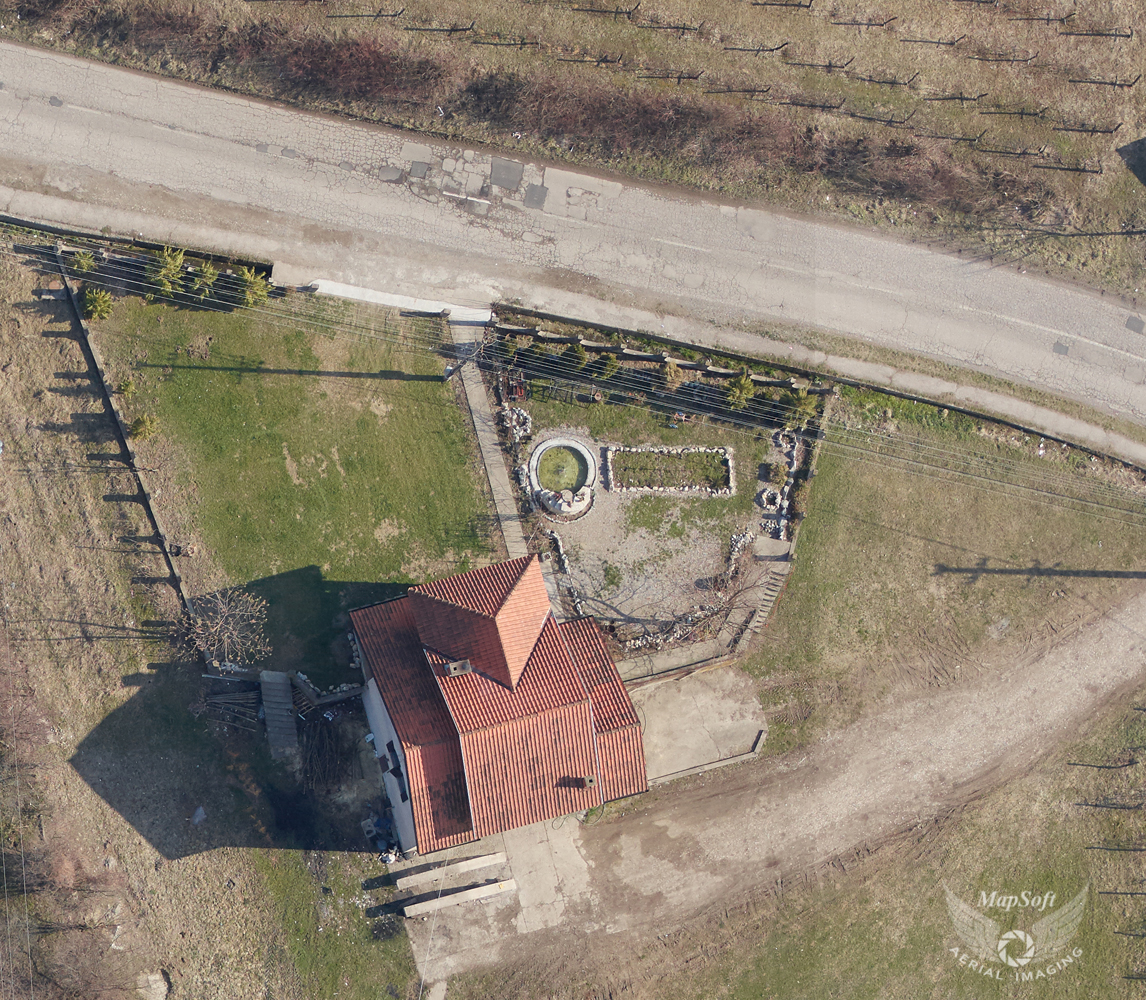
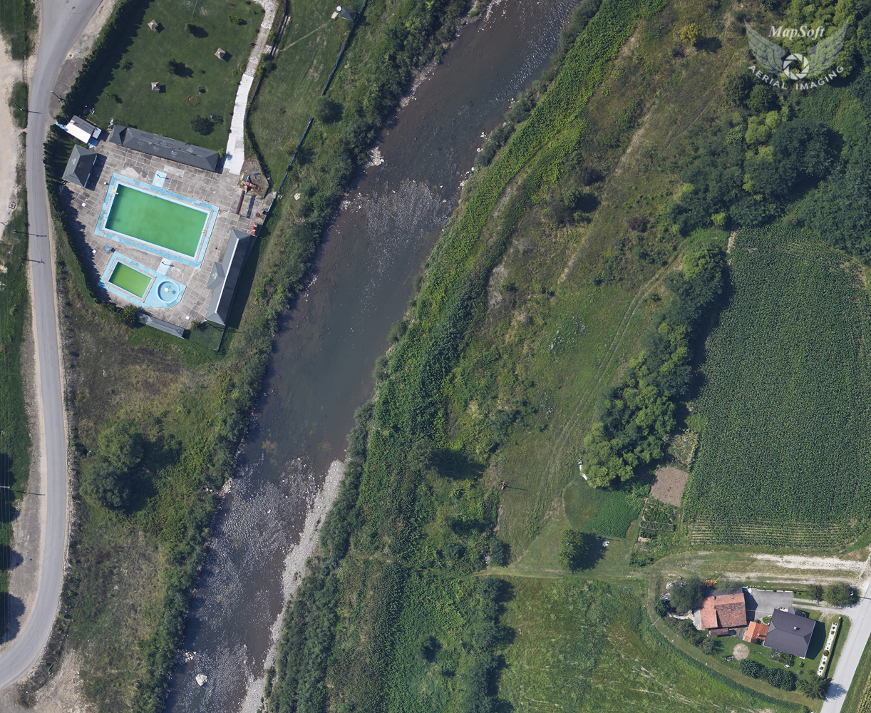
• +381 11 2456 330
  • This email address is being protected from spambots. You need JavaScript enabled to view it.

Aerial photography

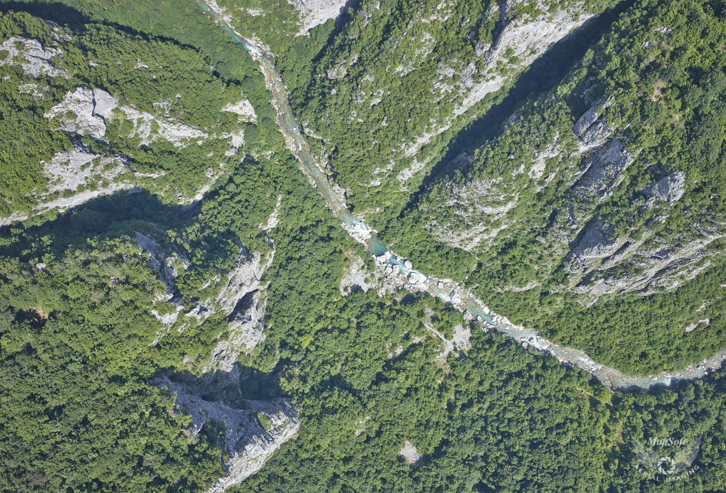
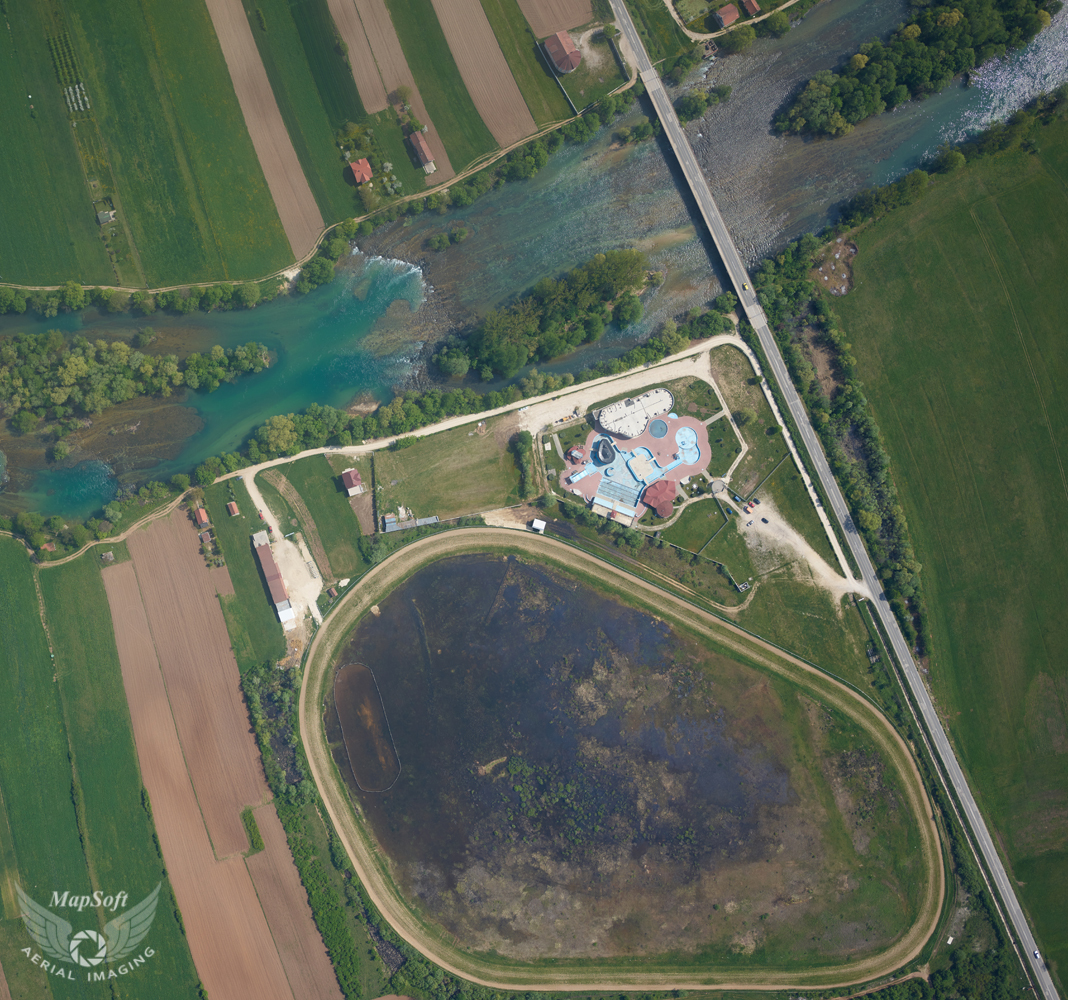
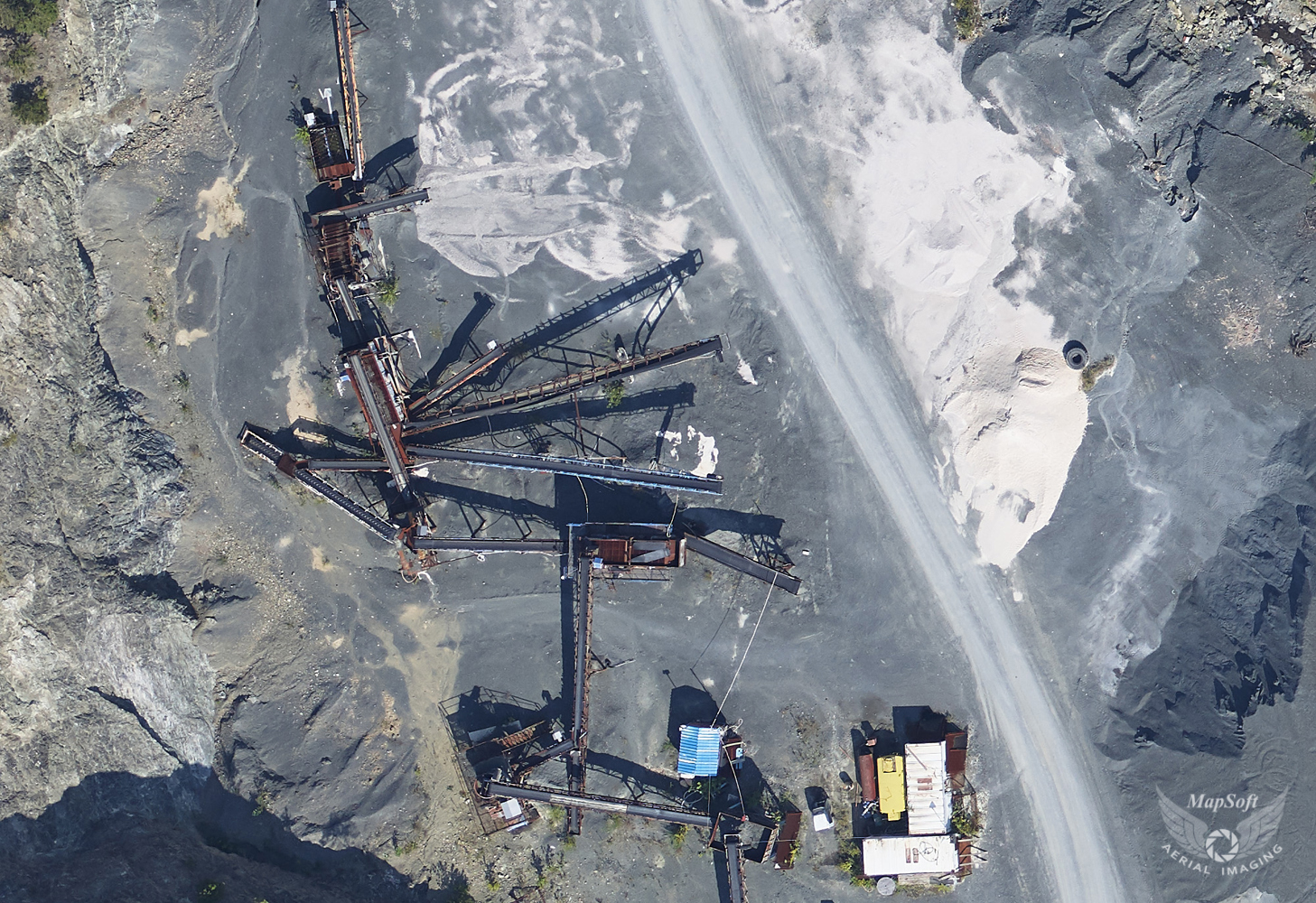
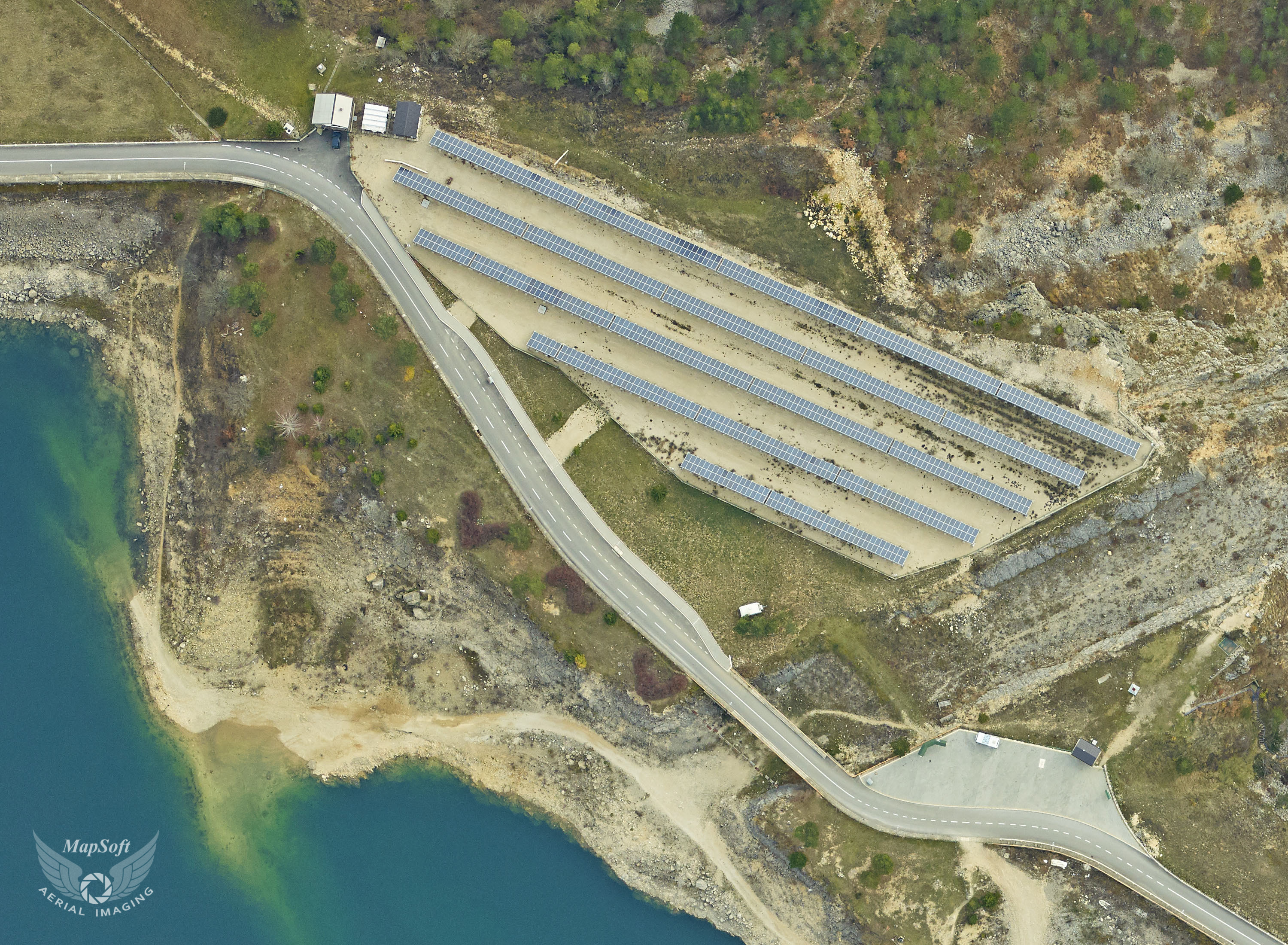
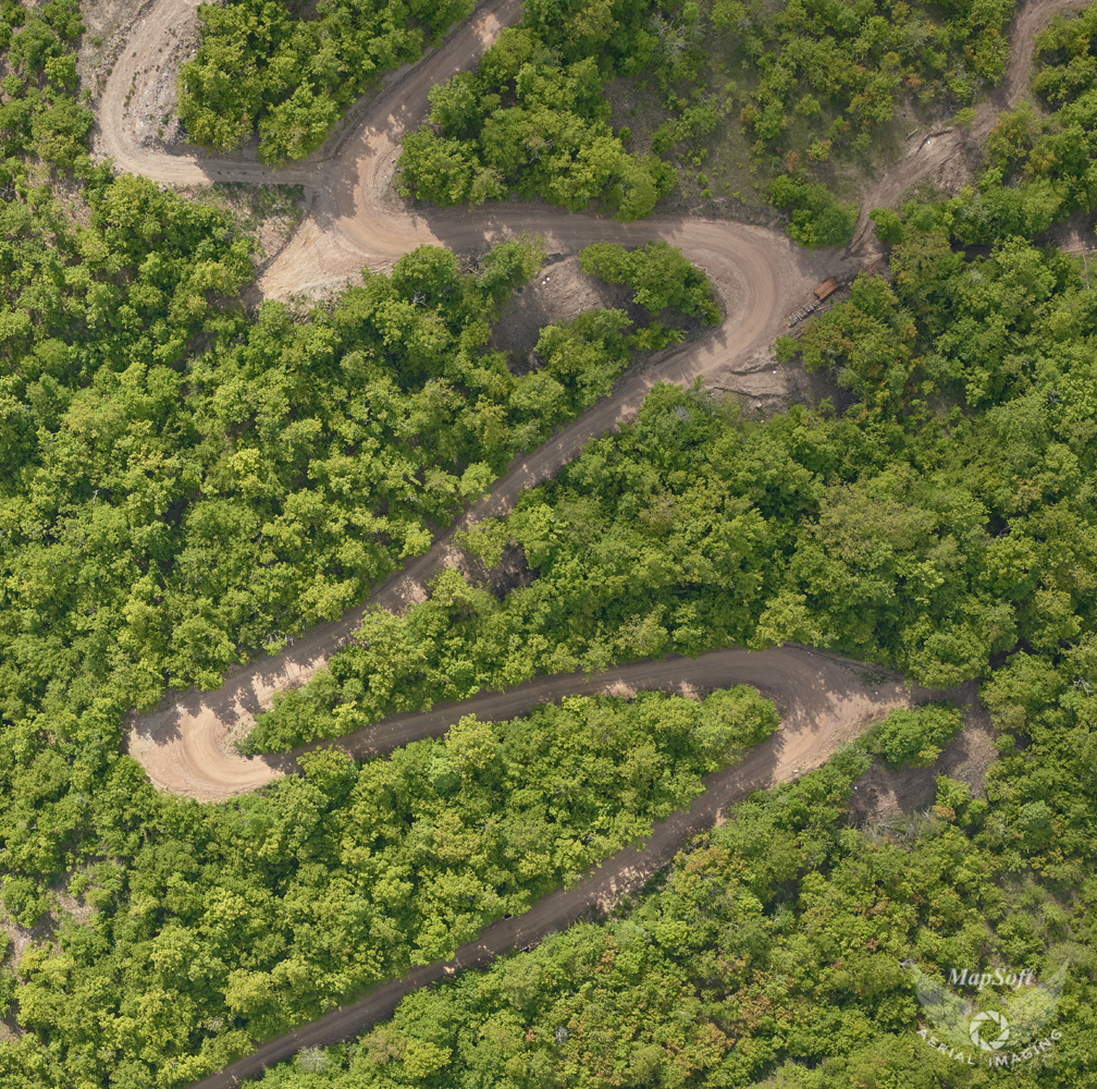
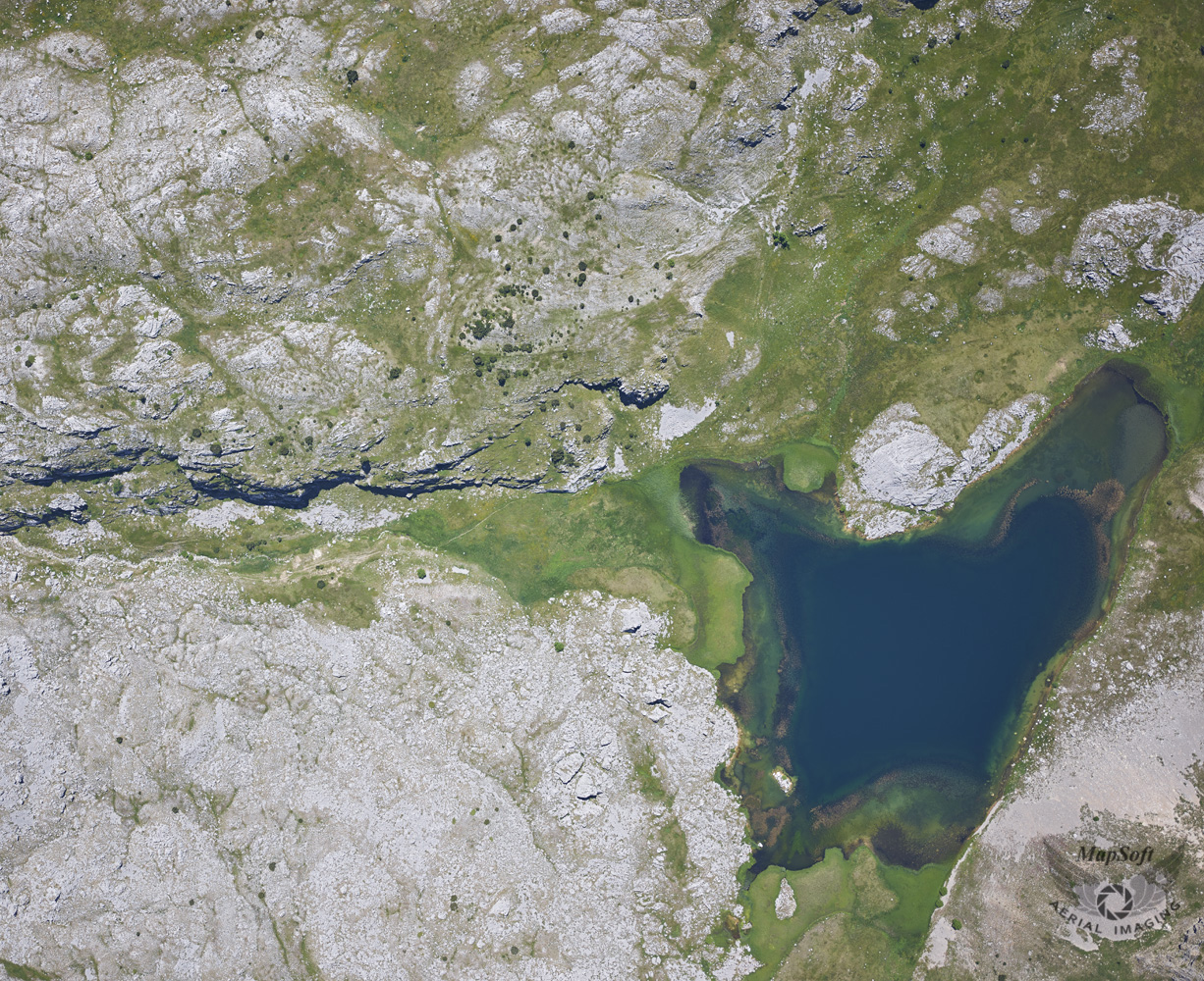
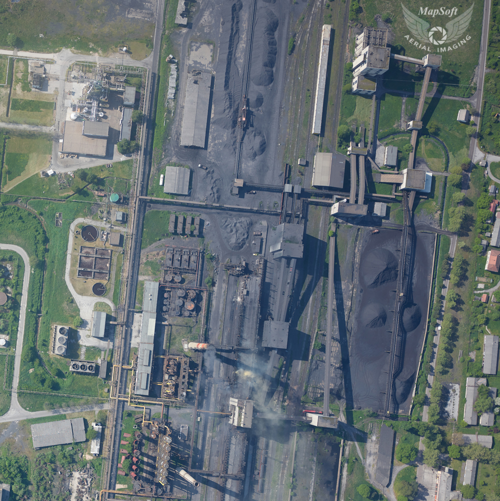
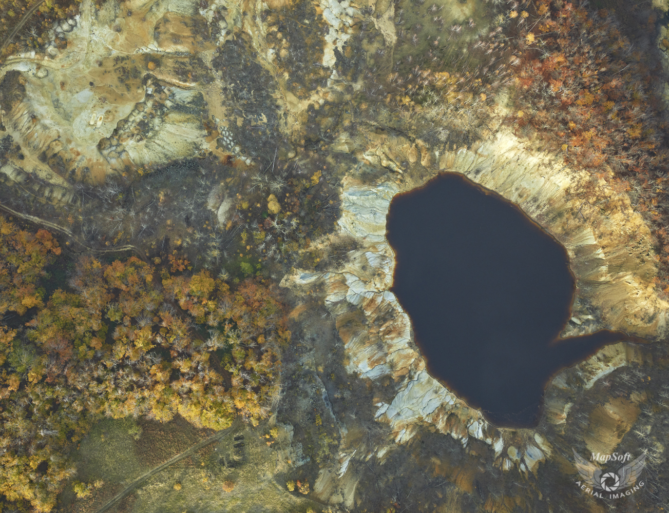
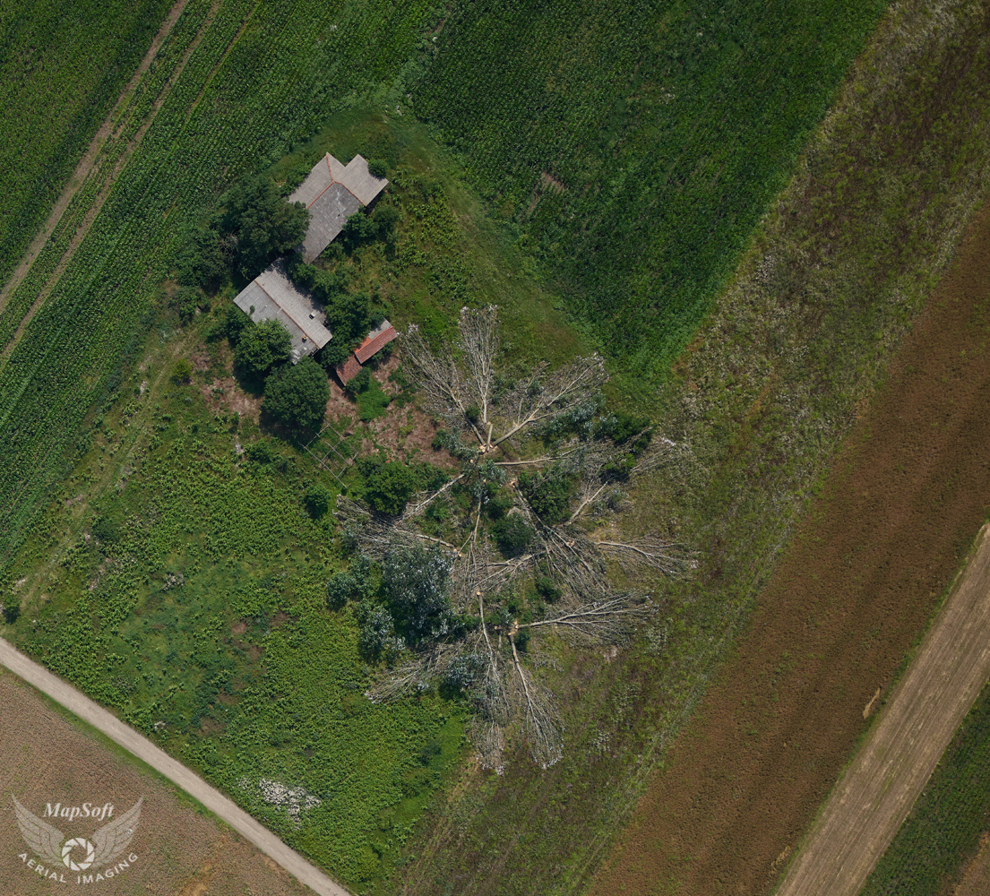
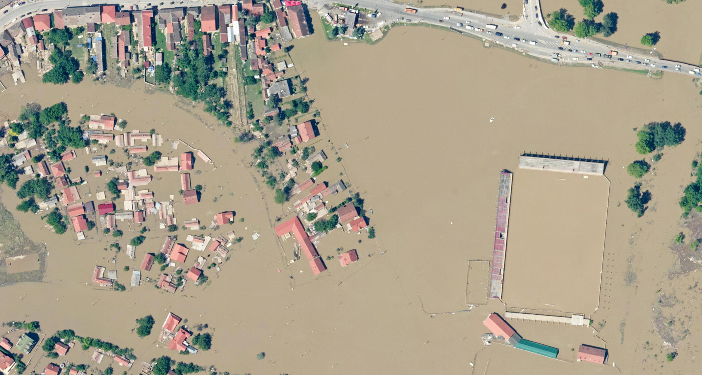
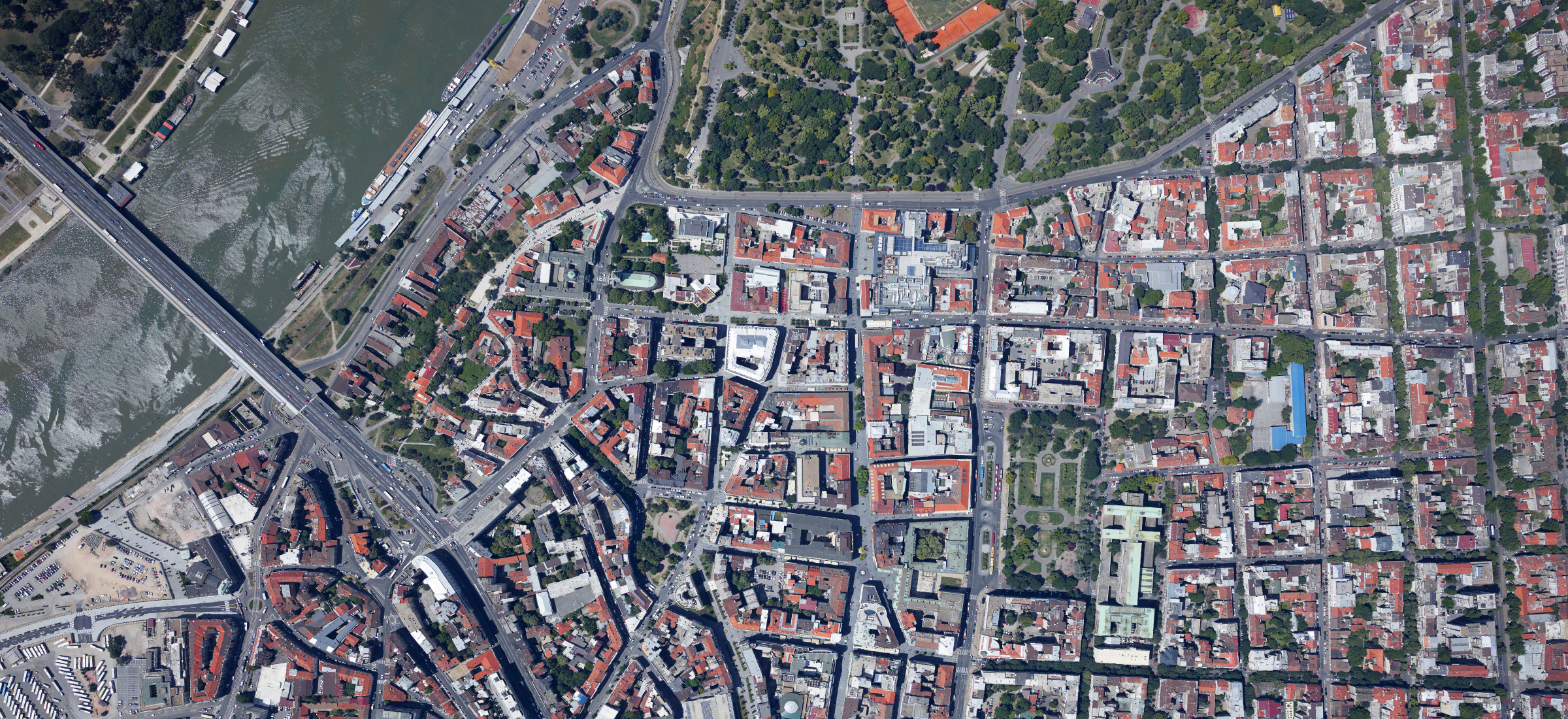
MapSoft is one of the leading company in the field of the professional aerial imaging. Modern camera system enables fast reaction in terms of campaigns planning and aerial imaging, time of project realization is significantly reduced, the process of digital topographic products development is technologically complete. The company can image small or large territories of interest and quickly react to the client's request.

In addition to the predominant aerial imaging, MapSoft provides services and imaging of micro-locations with the help of unmanned aircraft or balloons.

Specification

  • Images with georeferencing parameters
  • Method of georeferencing: direct georeferencing, aerial triangulation or structure from motion
  • Standard raster file formats
  • Resolution for 2 to 30 cm/pix
  • 4 bands (R+G+B+NIR) or any other 3 bands combination (RGB, CIR, NDVI)
  • Distortions free image (based on calibration)
  • 12-bit depth resolution
  • Quick response
  • Images available few hours after finished flying mission

Applications

  • Insurance
  • Disaster monitoring (fast response, fast products)
  • Digital orthophoto production
  • Point cloud colorization

MapSoft aerial photography samples

Click to enlarge the image
  • Hydrology - Canyon Nevidio, Montenegro - 2018
  • Flood hazard - Sana River, Bosnia and Herzegovina -  2018
  • Road design - Zepce, Bosnia and Herzegovina - 2019
  • Cadastre - Crvanjsko Lake, Bosnia and Herzegovina - 2018
  • Environment protection - Zaovine Lake, Serbia - 2019
  • Road design - Lajkovac, Serbia - 2017
  • Flood hazard - Jablanica Dam, Bosnia and Herzegovina - 2018
  • Mining exploration - Drence, Serbia 2019
  • Cadastre - Kotlicko Lake, Bosnia and Herzegovina - 2018
  • Flood hazard - Coke manufacturing Lukavac, Bosnia and Herzegovina - 2018
  • Mining exploration - Crni Vrh, Serbia - 2019
  • Flood hazard - Ramsko Lake, Bosnia and Herzegovina - 2018
  • Flood hazard - Sugar plant Backa, Serbia - 2018
  • Flood hazard - Una RIver, Bosnia and Herzegovina - 2018
  • Mining exploration - Runjani, Serbia - 2019
  • Road design - Usora River, Bosnia and Herzegovina - 2019
  • Railway design - Velika Plana, Serbia - 2019
  • Insurance - Obrenovac, Serbia - 2014
© 2024 MapSoft d.o.o. All Rights Reserved.