")
")

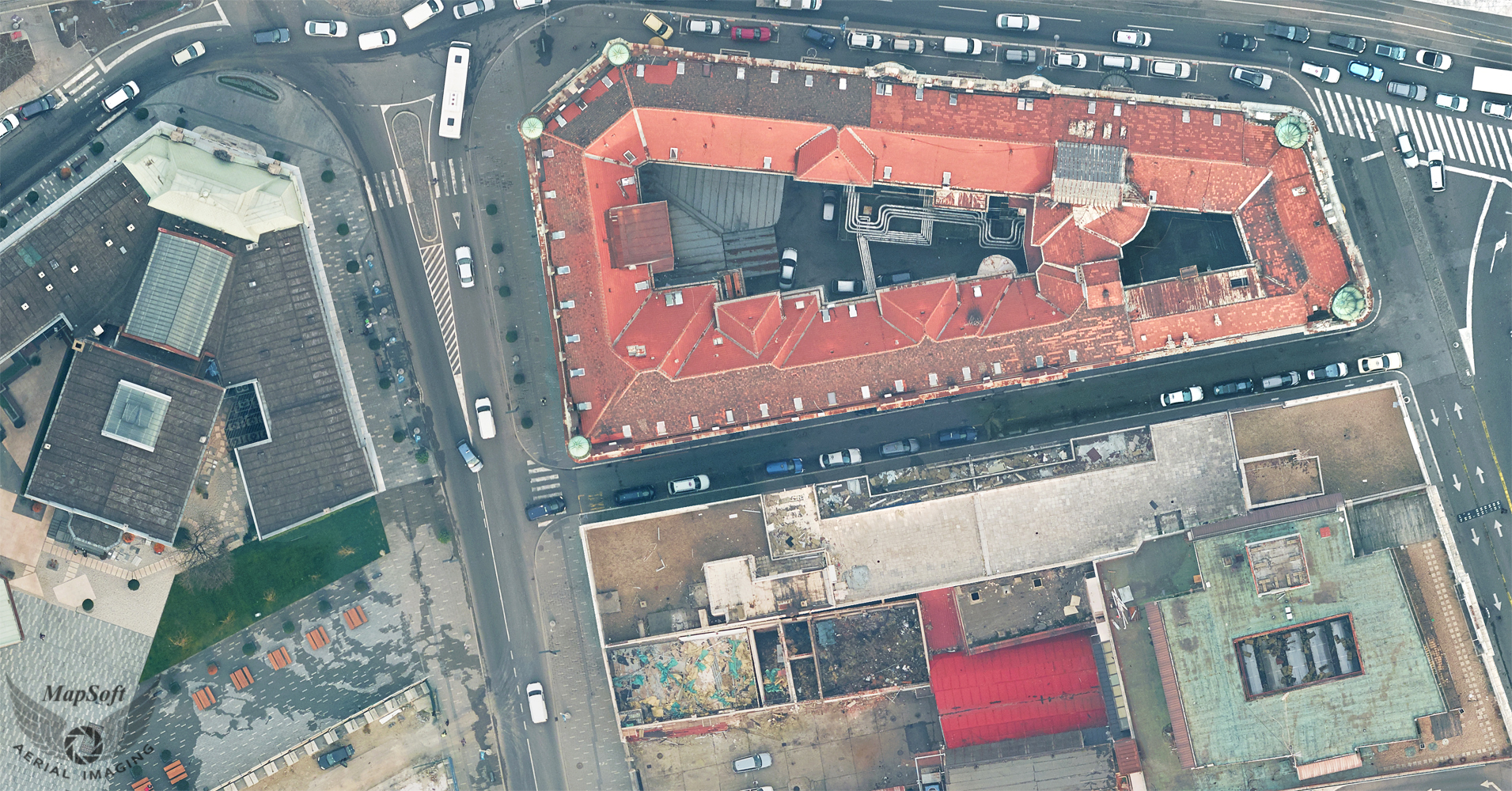
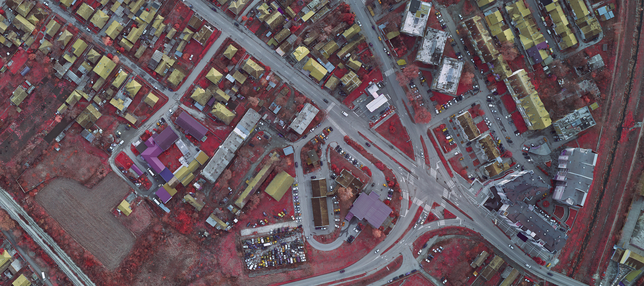
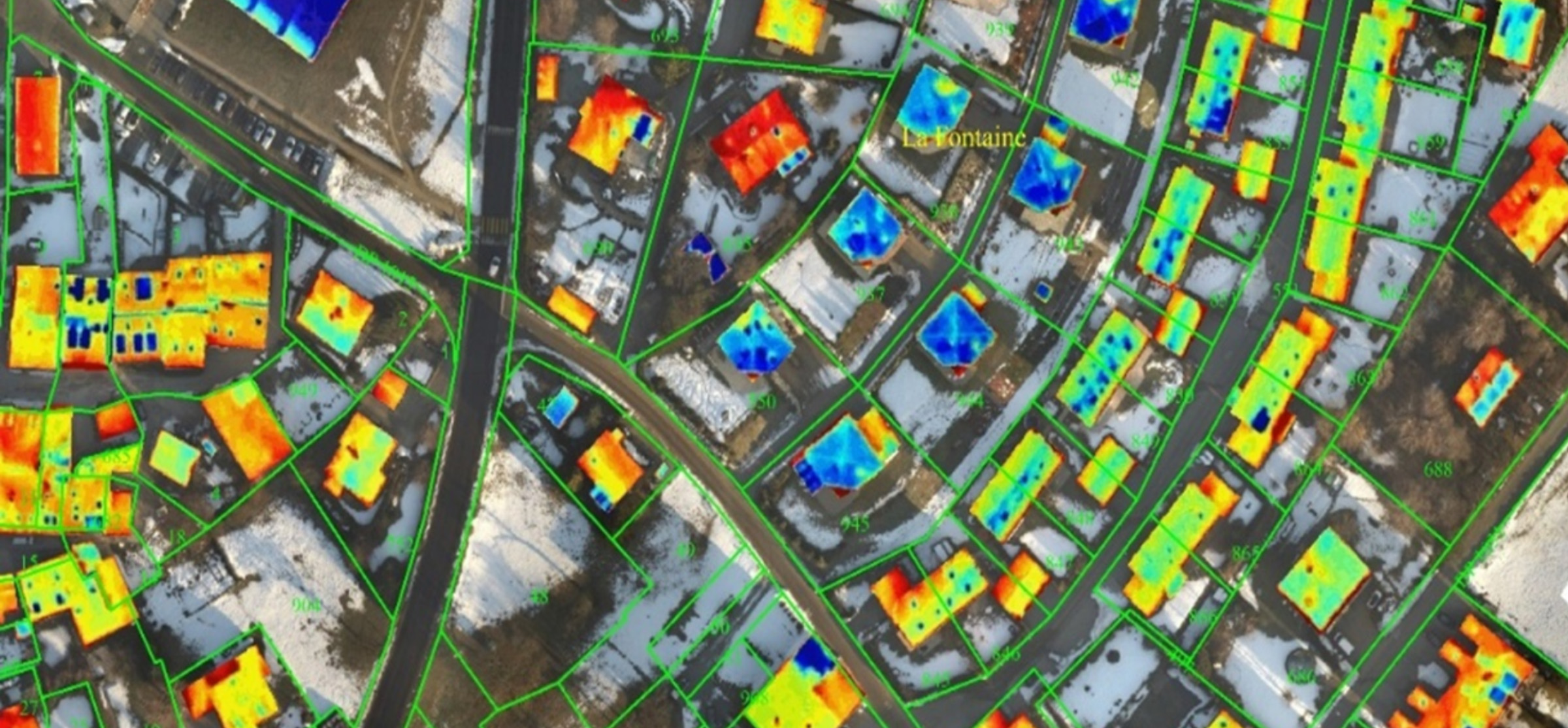
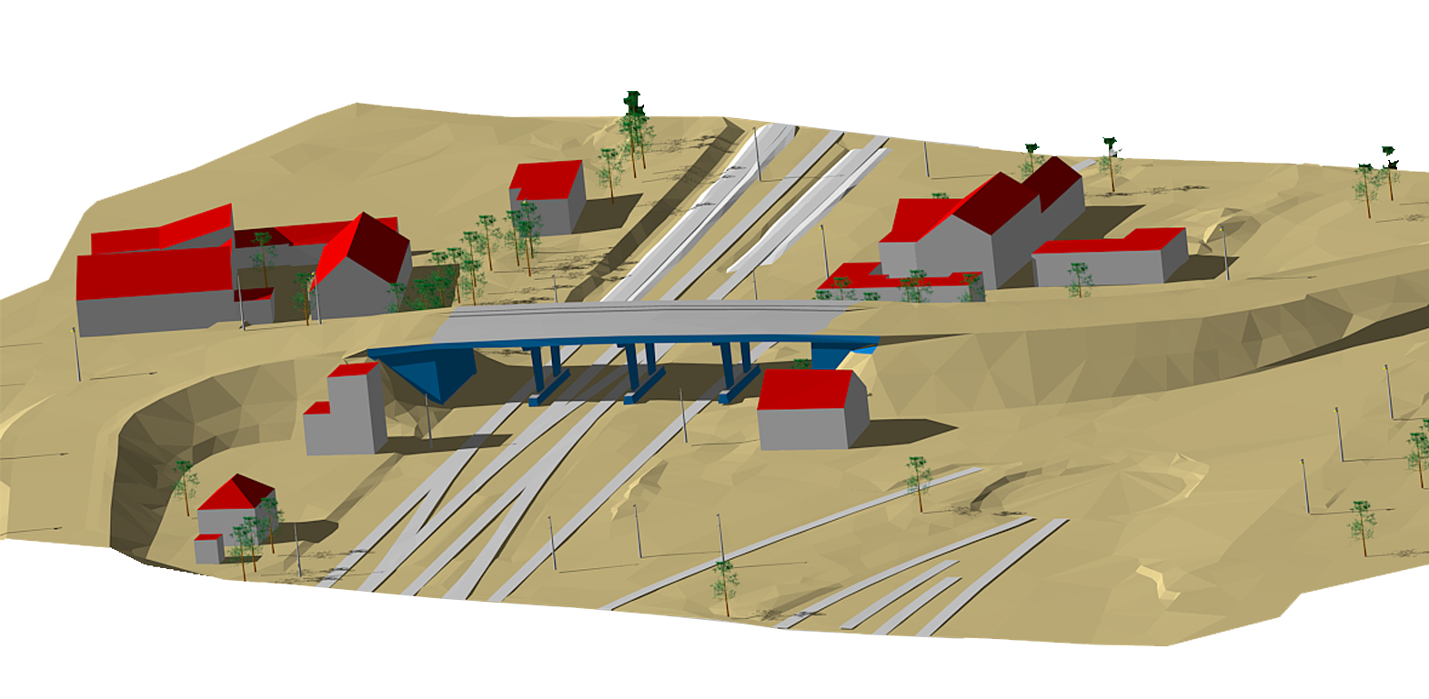
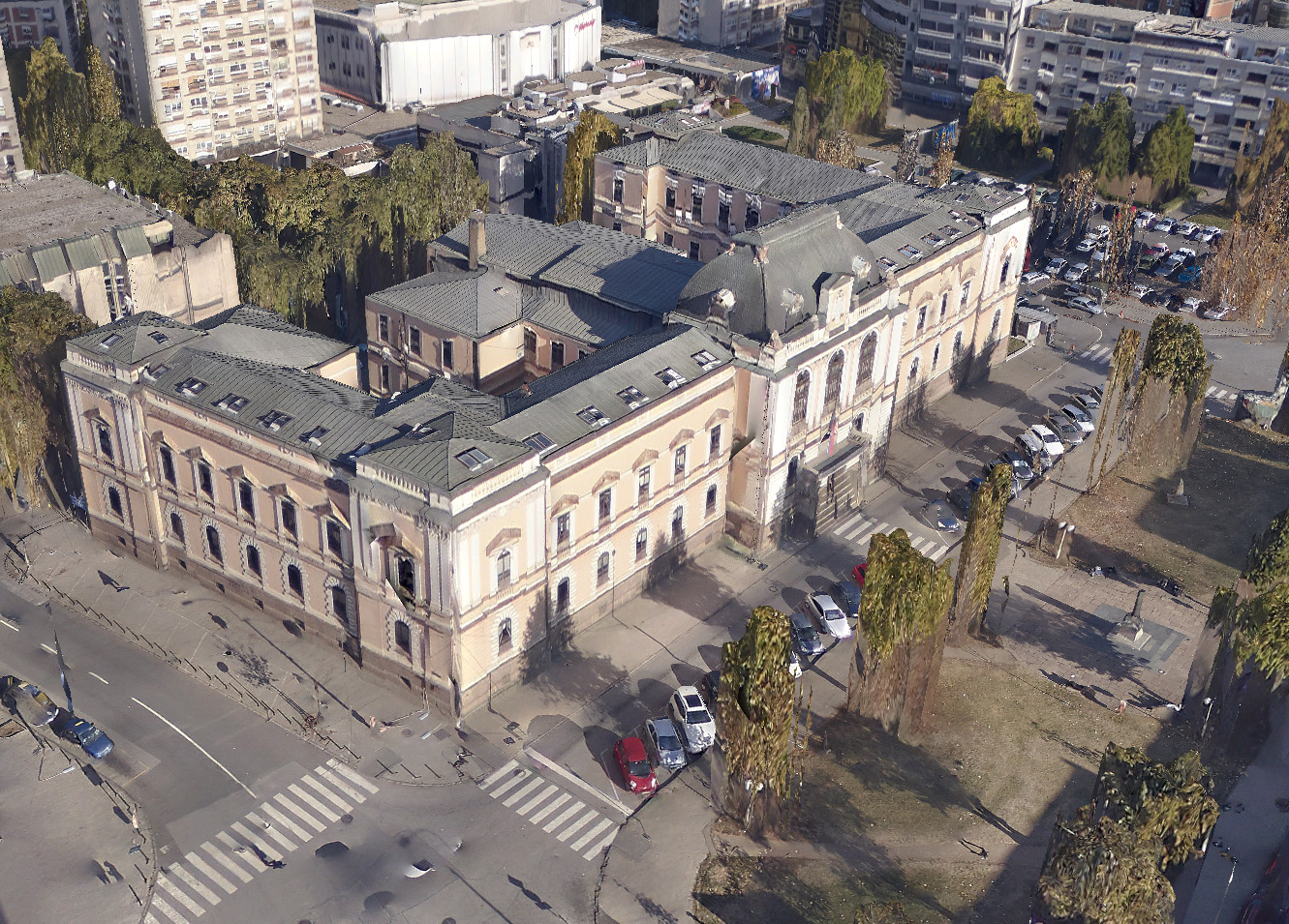
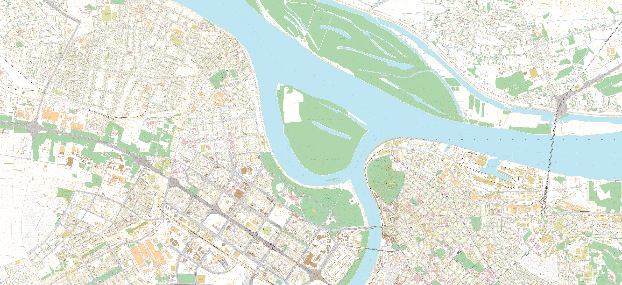
Leading aerial acquisition data company in the region...

...with complete aerial/LiDAR service...

...and the highest data quality

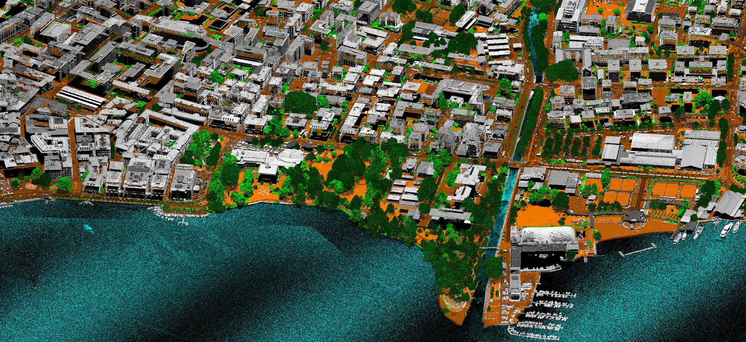
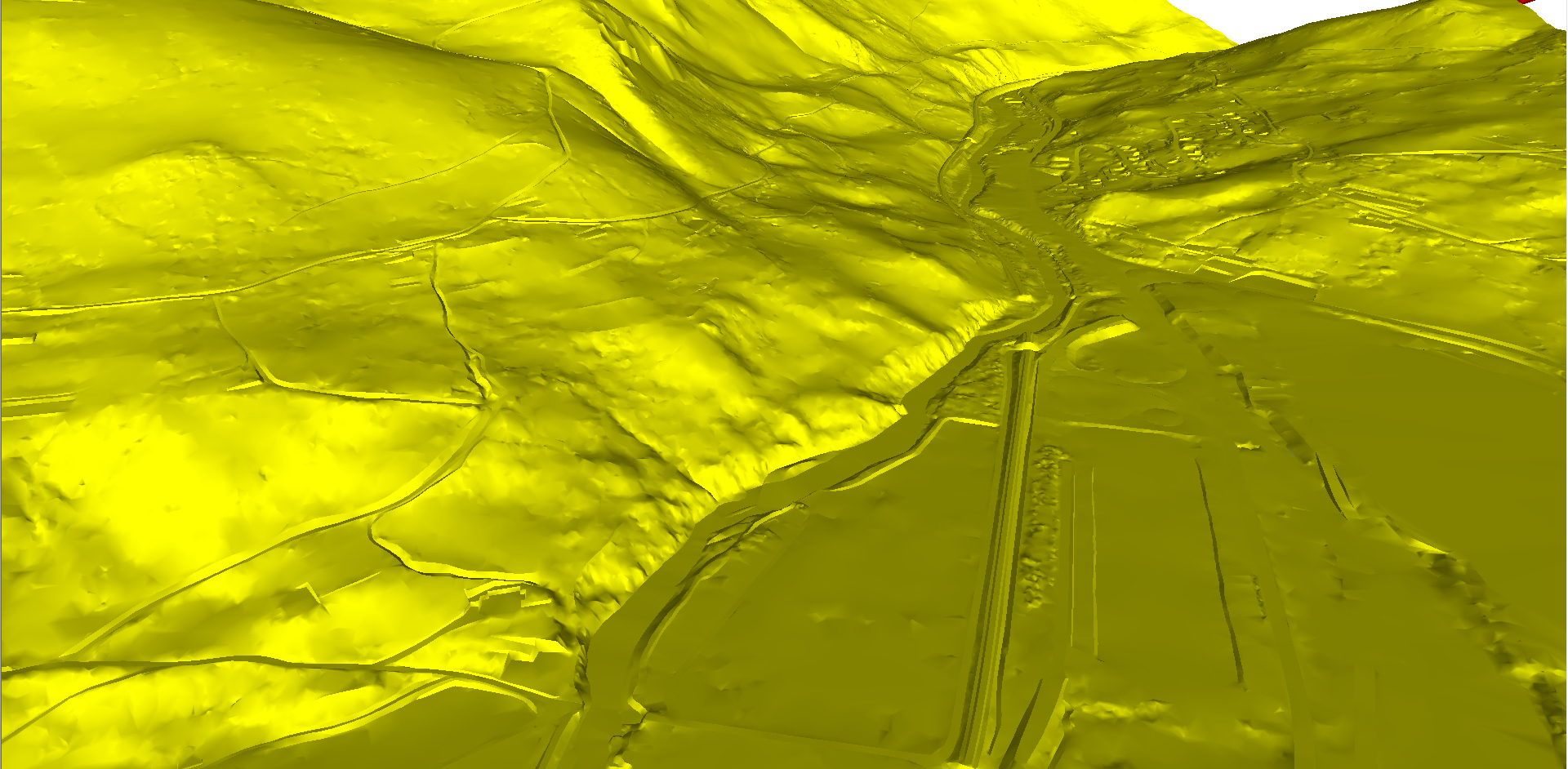
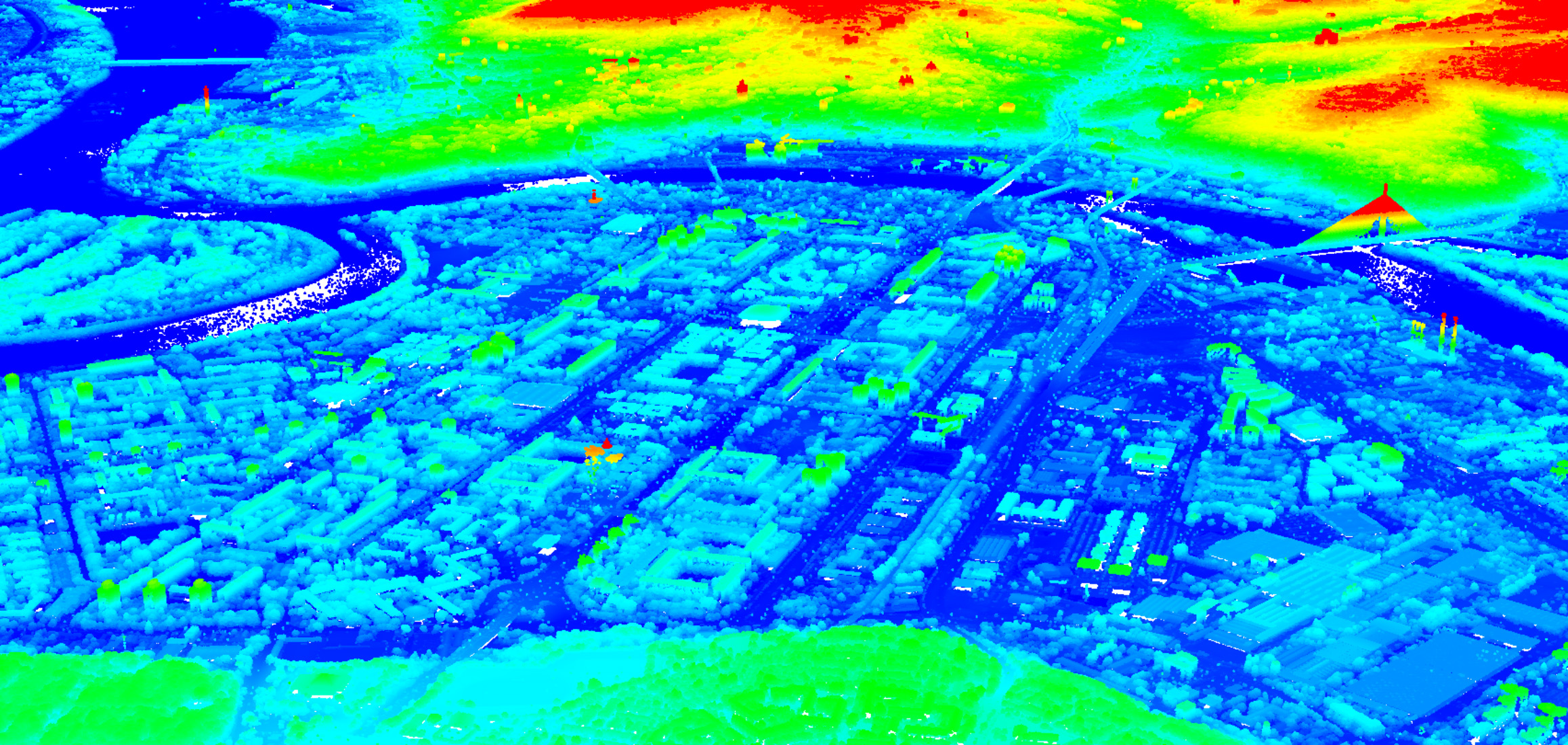
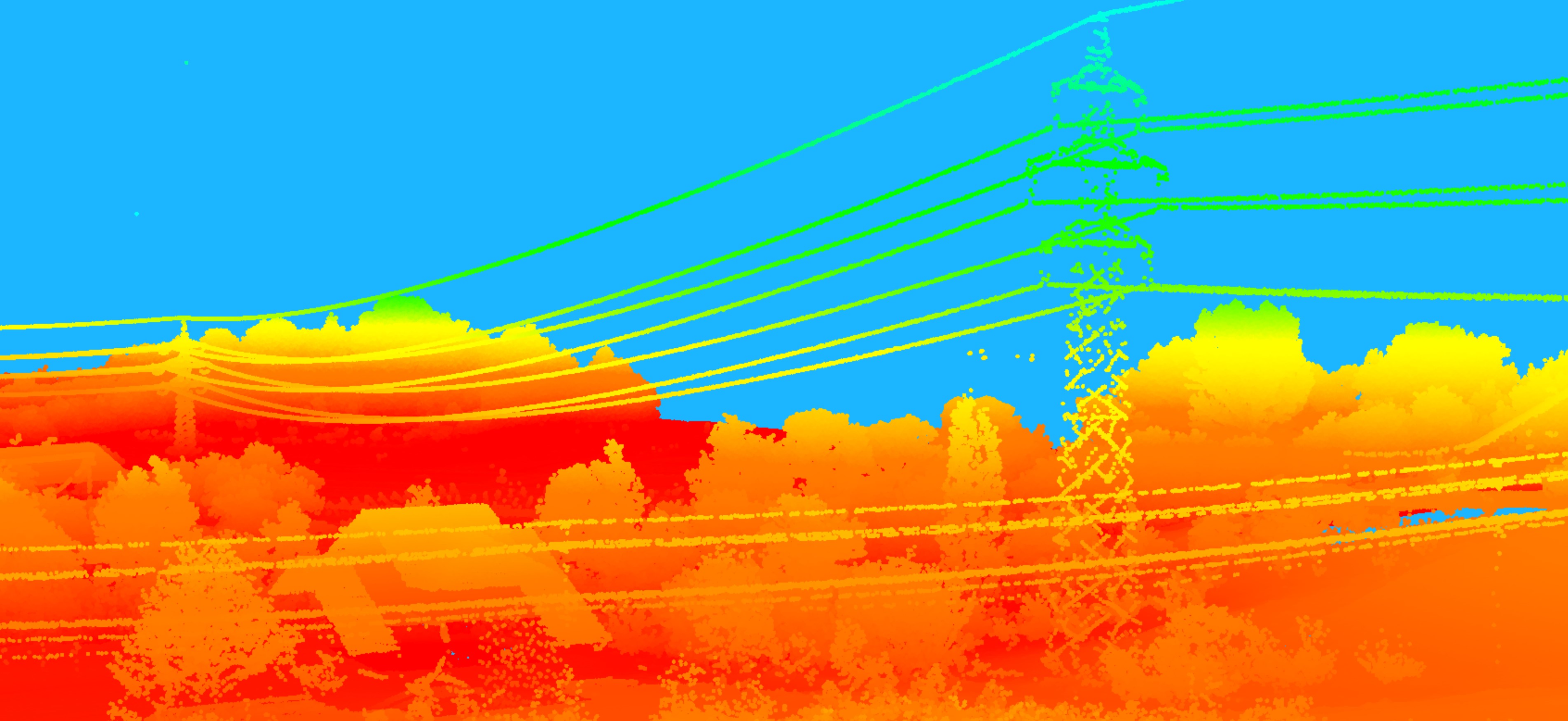
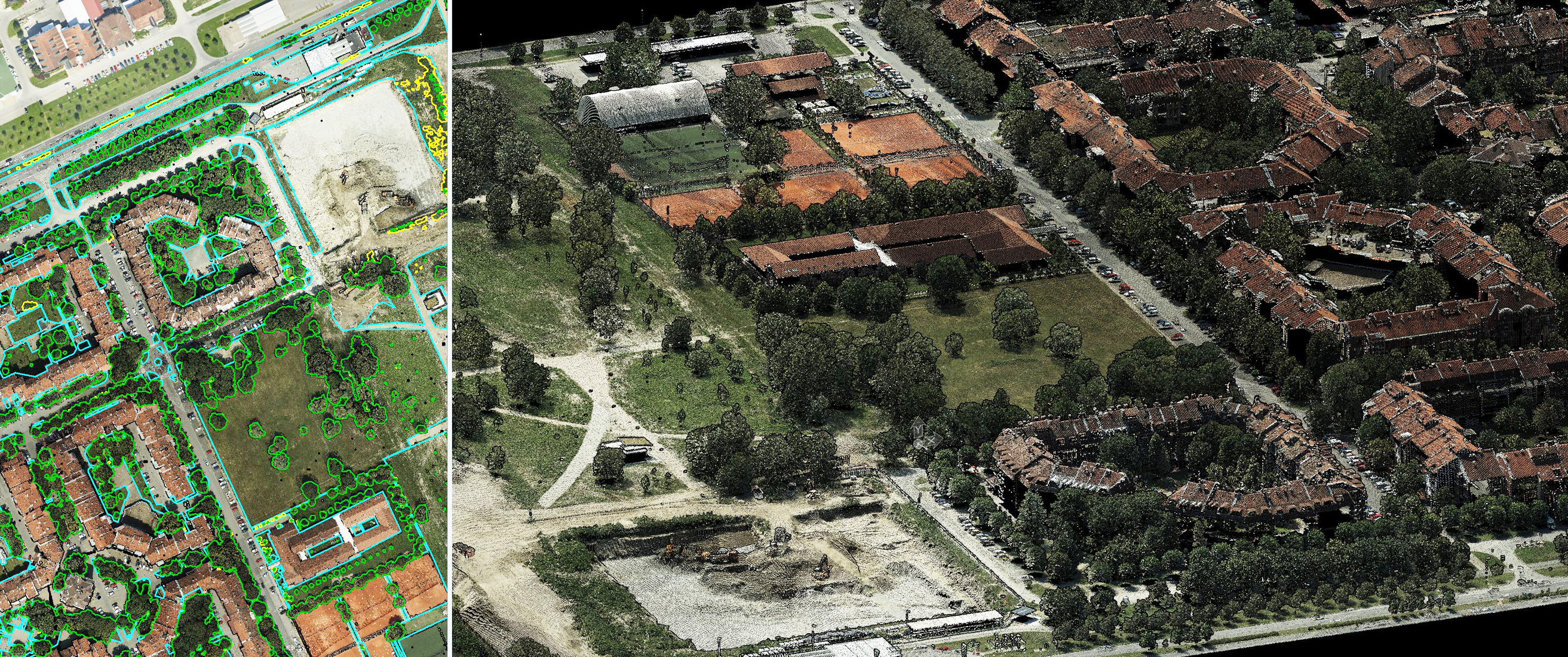
MapSoft aerial imaging services and spatial data production are based on the latest technology (sensors), the best software available, development of our own software components and own production workflow.
In addition, MapSoft team has decades of experience in producing data using photogrammetry and remote sensing methods.
All this lead to highest quality of end products and satisfied customers from small one to the world's leading companies.


Memberships
The mission of the association is to increase the influence of the European Aerial Surveying Industry on political and administrative decisions that affect it, to promote the use of aerial surveying data by educating decision makers, to ensure a predictable quality level of the services by certification, and to serve as a platform for communication and cooperation among the members to enact positive change.
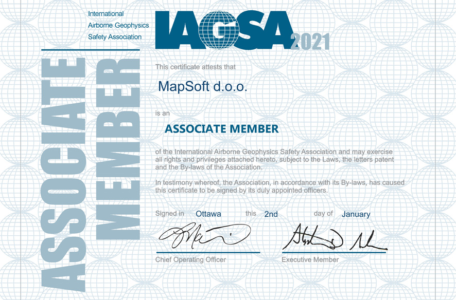
The International Airborne Geophysics Safety Association (IAGSA) is a nonprofit association supported by its members whose mandate is to promote and enhance safety in the airborne geophysics survey industry. As the leader in photogrammetric business in the region, from April 2017 MapSoft became the IAGSA member since the company recognized the benefit and responsibility for the overall safety performance of aerial imaging..