")
")


Hydrology
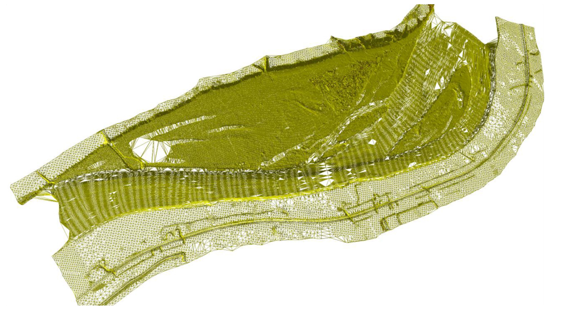
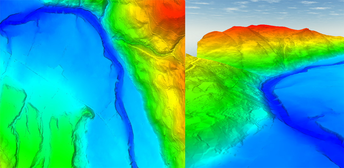
In the past, using traditional surveying methods, height data was collected manually, which was very expensive and time-consuming. Today, with the help of LiDAR, data can be collected for the entire flood area, and the flow can be simulated in all parts. This two-dimensional simulation gives us a much more detailed picture of where the water will go during a flood.
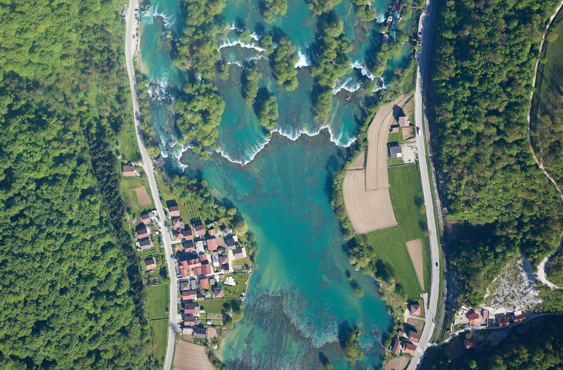
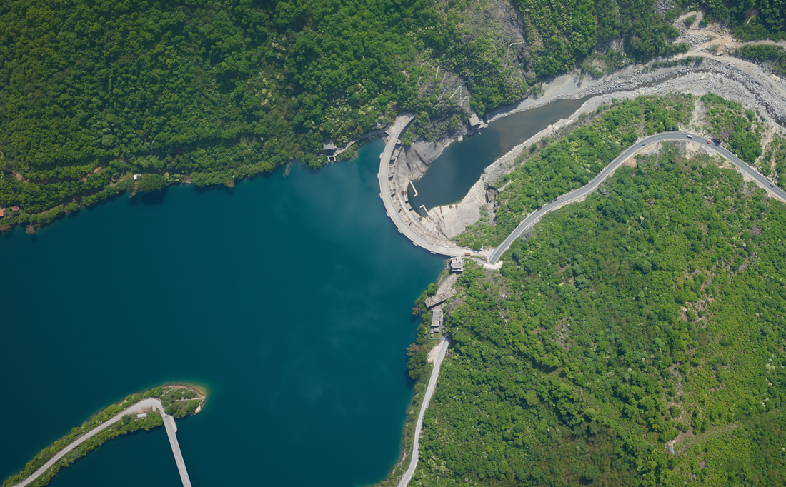
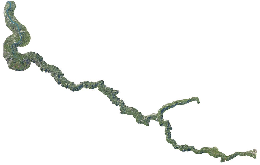
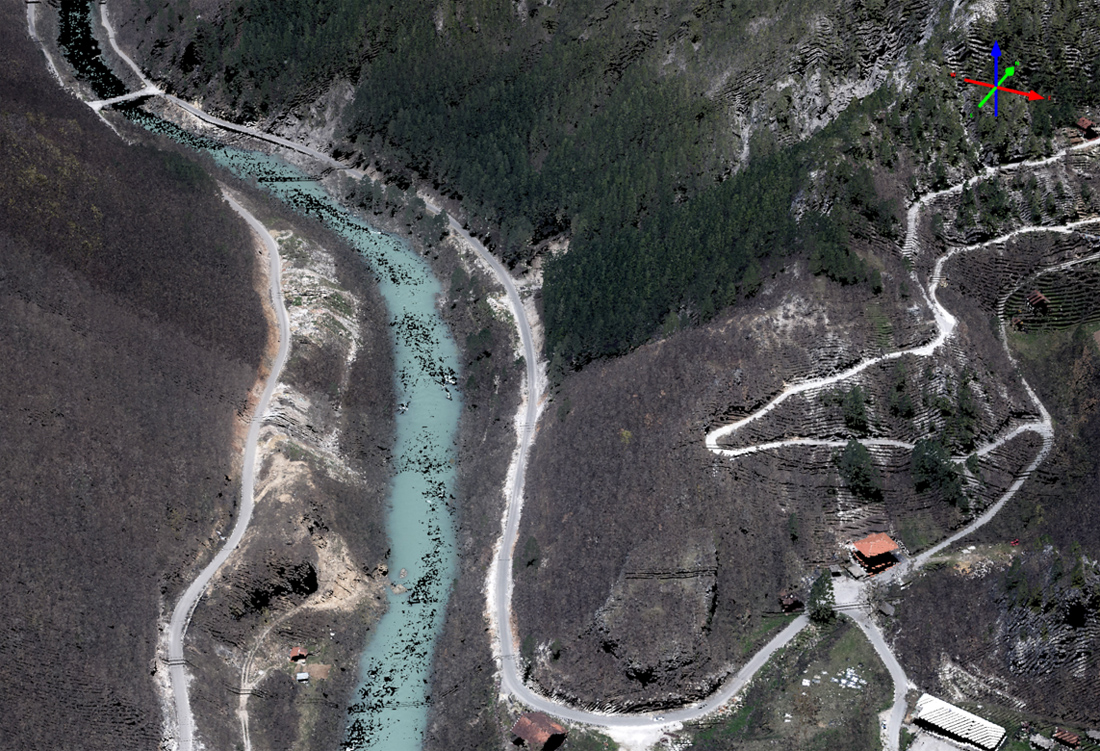
Flood risk maps can be made from LiDAR data. These maps provide critical information in flood forecasting: information about when and where floodwaters will arrive. The maps also show how deep the water is expected to be over the entire floodplain. Flow and flood simulation is done in specialized software, but it is essential to have high-quality data, and this is exactly where LiDAR shows all its advantages as a leading technology in hydrological analyses. A very important role in hydrological analysis is the ability of the LiDAR signal to penetrate to the ground surface even in the conditions of dense vegetation in the coastal area. Surveying of such surfaces using classical methods would be very difficult or sometimes impossible.
Example of products of importance for hydrology
Click to enlarge
Benefits
- Advanced models of prediction due to the possesion of high quality data
- Creation of model heights in order to determine floating areas
- The most precise way of data acquisition for the flood risk maps
- Risk decrease, more safety for the people, environment, infrastructure and property
Projects
- Likodra river
- RHE Bistrica
- Accumulation lake Svračkovo
- Selova water management system
- Remediation of Grand backa canal
- Water streams, Federation of Bosnia and Hercegovina (flood hazard maps)
- Komarnica canyon (Montenegro)