")
")


Mining
LiDAR technology offers a new method of oil and gas exploration that is still in development. Also, it can provide accurate 3D model of the terrain, minimising the project’s environmental impact and gauging the project’s environmental effects by surveying the surrounding land. Using LiDAR, existing quarry sites can conduct fast surveys accurate to within a few centimetres which might lead to volume calculation. This is another important capability, very useful when having a series of LiDAR measurements over the time.
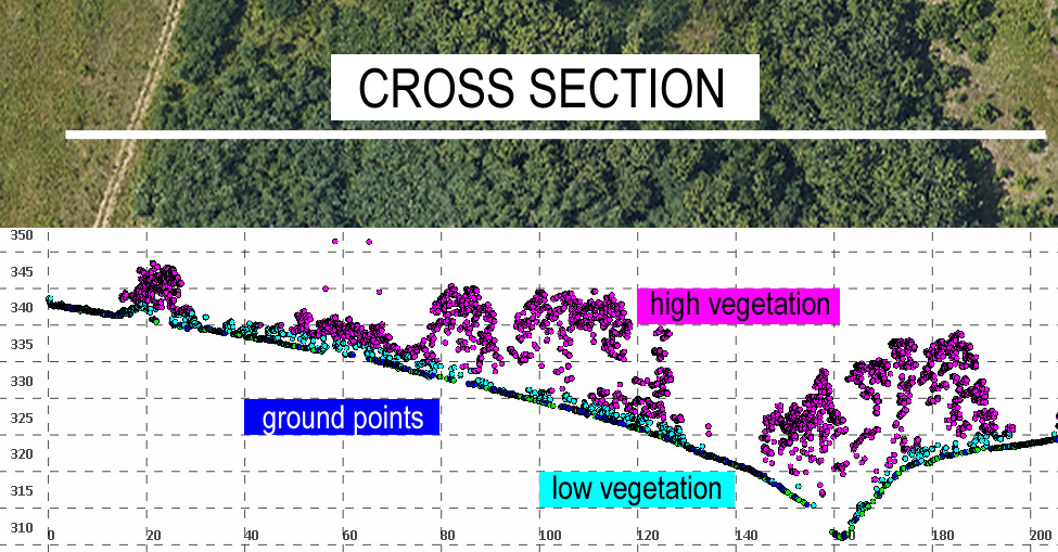
The ability of the LiDAR signal to reach the earth's surface even in conditions of extremely dense vegetation is a great comparative advantage in using this recording method.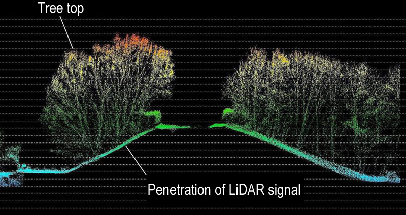
Projects
- Investigation field Raška
- Jadar basin
- Bor mining basin
- Majdan mountain basin
- Mining basin Kolubara
- Mining basin Kostolac