")
")

Urban and spatial planning
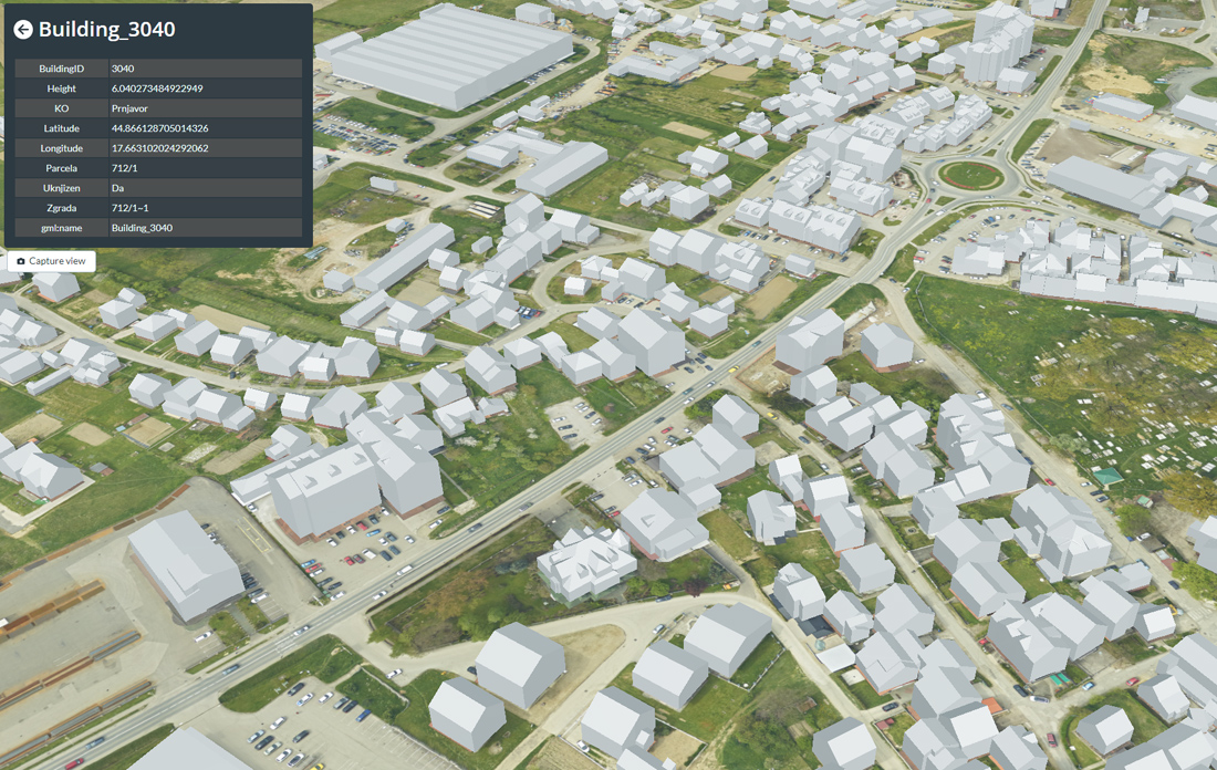
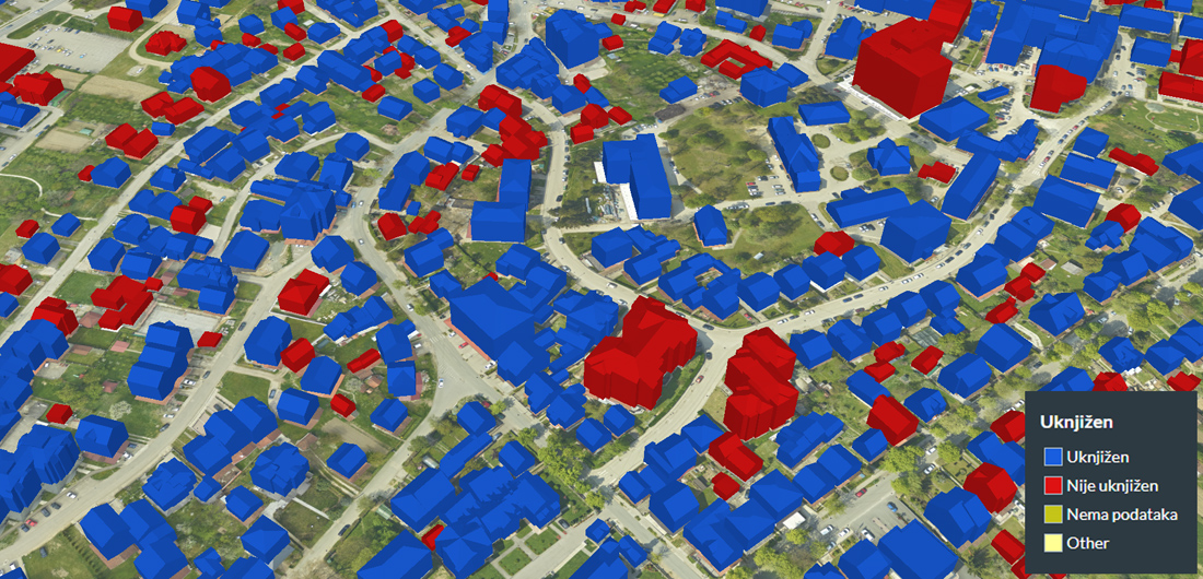
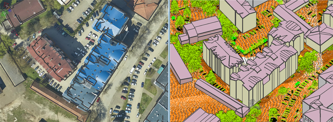
In the growing phase of urbanization and industrialization, there is a need for up-to-date topographic products that will help in urban and spatial planning. Before LiDAR technology, much of the data was not up-to-date and accurate enough to be used successfully in planning.
The most accurate, fastest method and the best ratio of price and quality in order to create topographic products for planning is LiDAR scanning in combination with aerial images. Through the application of this method, planners can have a detailed view of the area of interest in a short period of time, and therefore can identify potential problems in an easier and faster way.
The most accurate, fastest method and the best ratio of price and quality in order to create topographic products for planning is LiDAR scanning in combination with aerial images. Through the application of this method, planners can have a detailed view of the area of interest in a short period of time, and therefore can identify potential problems in an easier and faster way.
Examples of products of importance for planning
Click to enlarge
Projects
- Cities in Republika Srpska
- Base of artificial vertical obstacles in the vicinity of Trebinje airport
- Wind power plant Crni Vrh
- Ticino canton
- Danube coastal area, Golubac
- Urban planning maps, Mojkovac