")
")
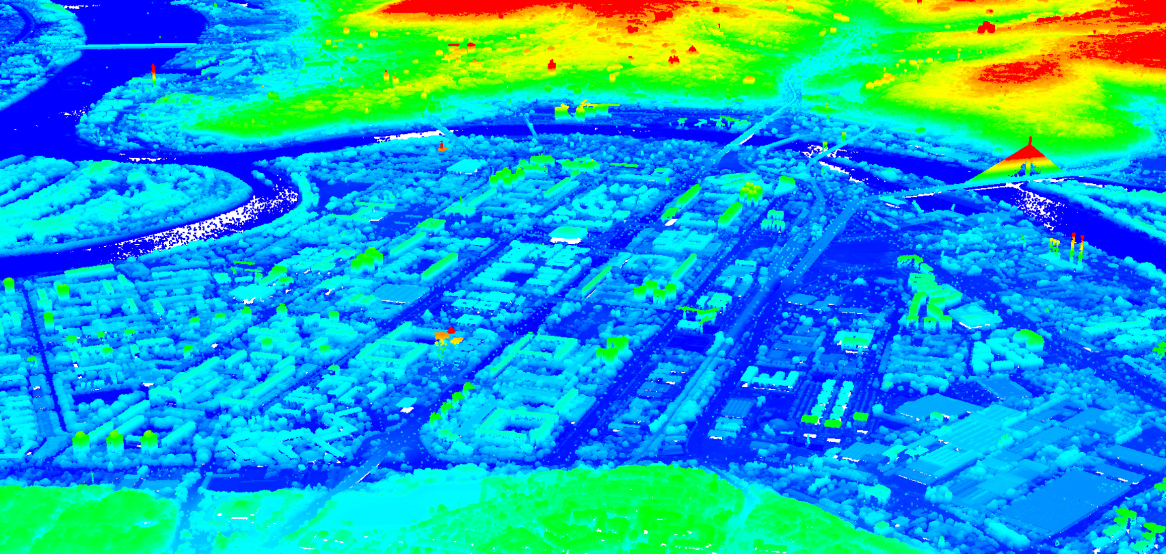
Digital surface model
Digital surface model (DSM) represents the earth's surface and includes all objects on it. In contrast to a DSM, the digital terrain model (DTM) represents the bare ground surface without any objects like plants and buildings.
Laser scanning is most effective method for DSM data collection. DSM accuracy and reliability are obtained from a high-quality LiDAR scanner (Teledyne Optech Galaxy) equipped with a precision GNSS/INS device (Trimble AP60) for georeferencing point cloud. Teledyne Optech Galaxy frequency (up to 1 million points per second) enables generation of high resolution DSM.
Normalized DSM (DSM-DTM) is the difference between DSM and DTM and is easily generated from high quality DTM and DSM.
Specification
- Grid in standard raster formats (GeoTIF,…)
- DSM accuracy up to 10 cm
- Normalized or original DSM
Applications
- Forestry (canopy height model)
- Telecommunication (network design)
- Urban planning
- 3D visualization
- Environmental protection (noise and air pollution propagation)
- Vegetation management (power lines)

