")
")

Forestry
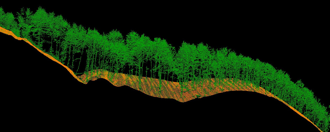
LiDAR has the unique ability to measure forest canopy structure, as well as the ground underneath. This allows for cost-effective, large-scale surveys that were not previously feasible. LiDAR can be used to determine both canopy density and canopy height. Before LiDAR, forest canopy measurement was difficult, bringing to a lot of inaccurate information. LiDAR solves this problem, offering data that determines the exact quality of the trees. This technology has an important role to play in deforestation as well, identifying the areas of the forest affected by humans. It allows researchers to measure the three-dimensional structure of tree canopies, including their height and the diversity of canopy elements like leaves, twigs and branches.
LiDAR 3D mapping allows environmental management organisations to gain better intelligence and improve monitoring techniques. LiDAR data can be used to observe fire patterns and determine high-risk areas (known as fuel mapping), so proactive measures can be taken to avoid problems caused by fire.
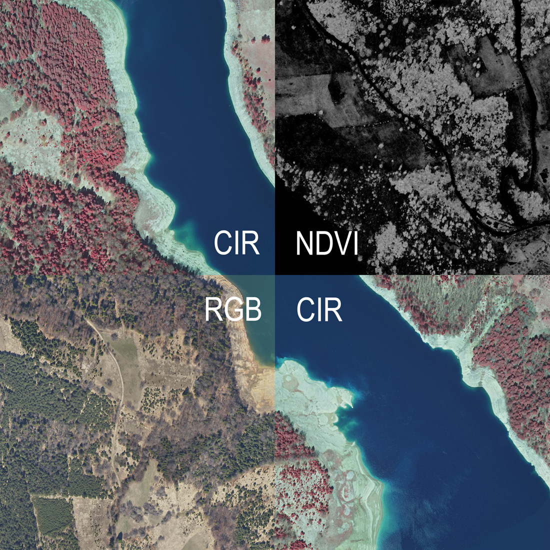
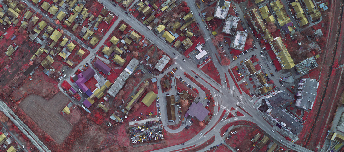
Examples of products of importance for forestry
Click to enlarge
Benefits
- Determination of average tree heights, canopy density, biomass quantity, vegetation coverage
- Monitoring of growth or logging, demages by the fires or storms, environment quality
- From the biomass data one can get estimation about potential fire spreading, fire preventions or evacuation of the people
Projects
- National park Tara
- Wind protection belt Ponjavica
- Lumber camps Sombor, Pančevo, Novi Sad