")
")
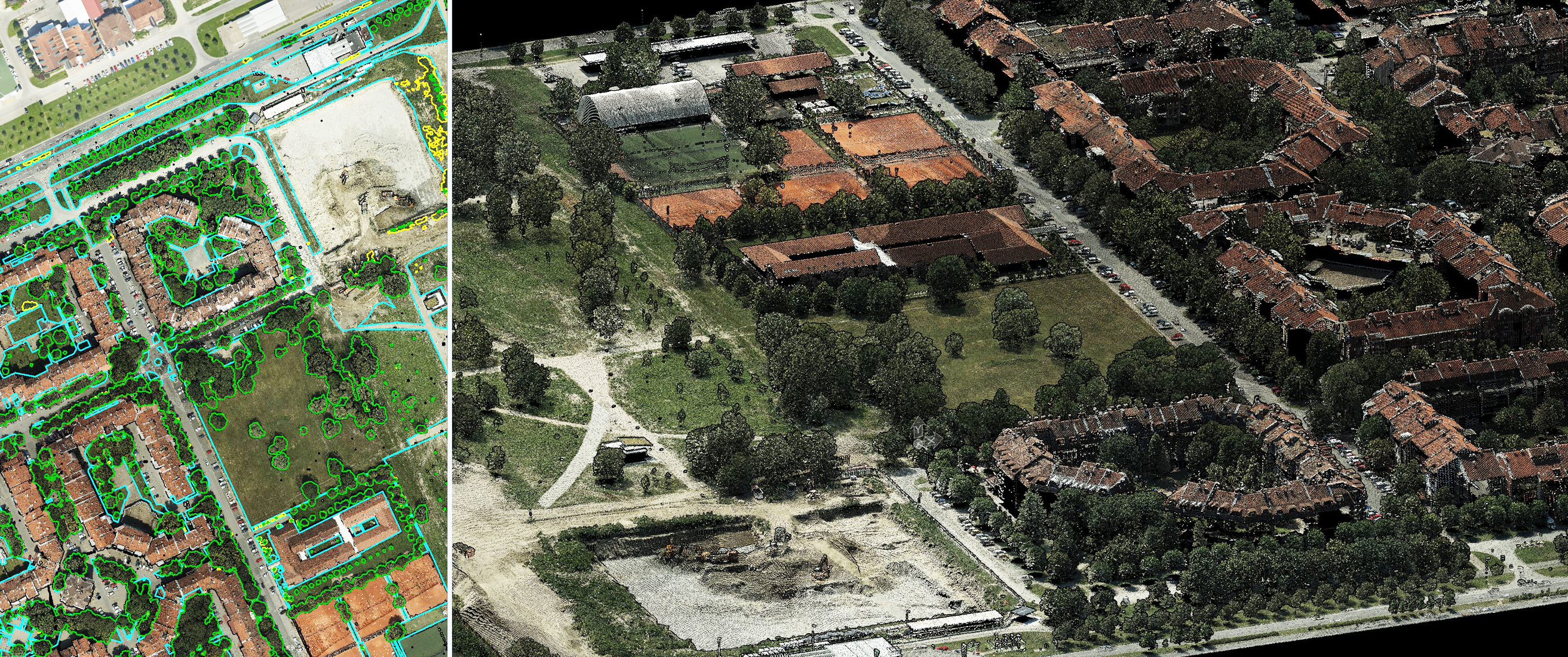


Urban green area mapping
The sustainable city development depends on the green areas, its layouts, sizes, connectivity, etc. The most modern cities tend to have an accurate spatial data of green areas within territory. The spatial database contains geometric data of trees, shrubs, grasslands, hedges, … in the form of points, lines or polygons. In addition, attributes are collected for each object, such as for trees: type, height, canopy width, ...
These databases are useful for planning and maintaining public greenery, resolving impropriety issues and making strategic decisions in the field of environmental protection and sustainable urban development.
MapSoft has experience in designing and collecting data to create urban green area spatial databases.
Specification
- Scale from 1:500 to 1:5.000
- 2D, 2.5D or 3D
- Standard CAD or GIS file formats or database
- Thematic atributes can be collected
Applications
- Environmental protection
- Urban and spatial planning
- Insurance
Samples: Urban green area GIS - Belgrade
0 ha
Urban green area
0
Area units
0
Trees
0 ha
Lawns
0 m
Hedges
0 ha
Paths
Samples: Urban green area GIS - Niš
0
Public green area units