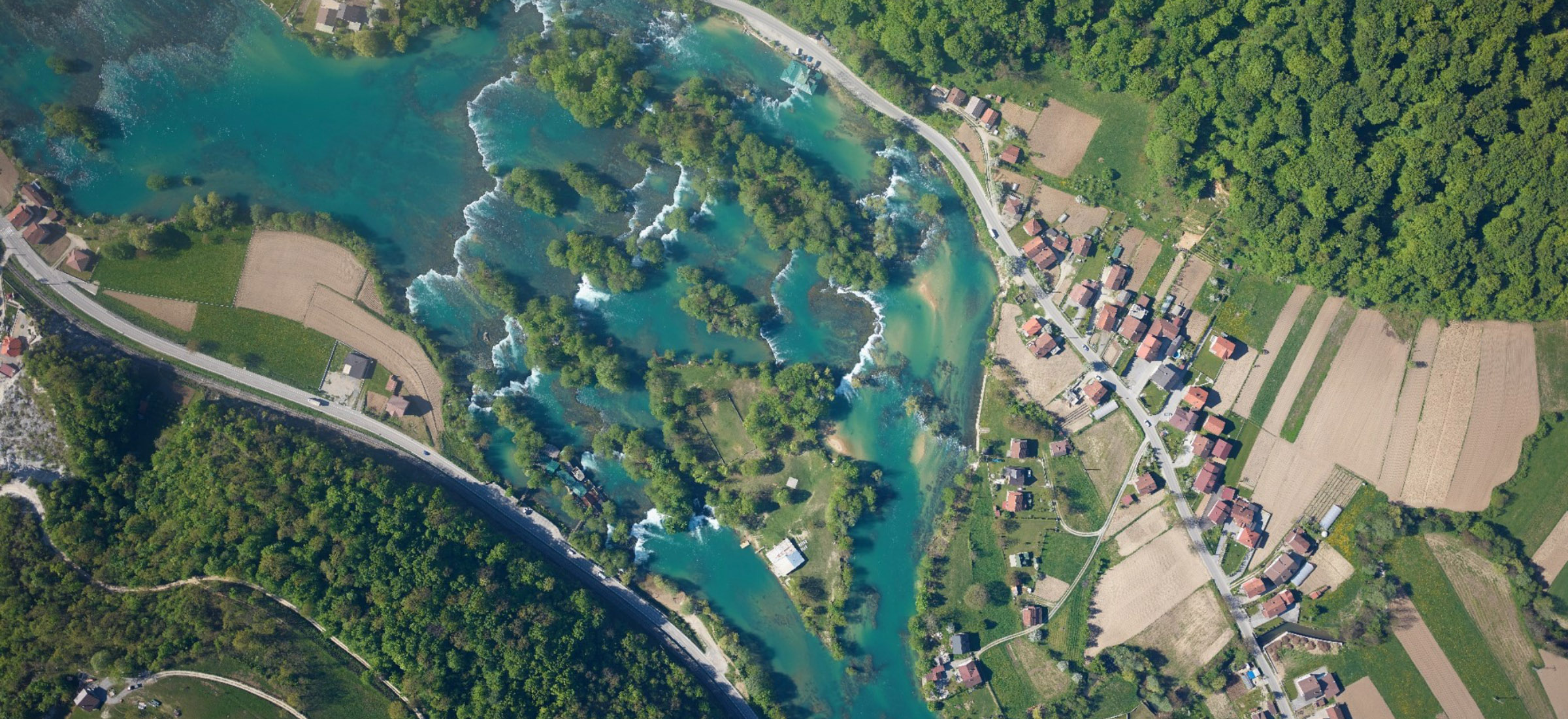
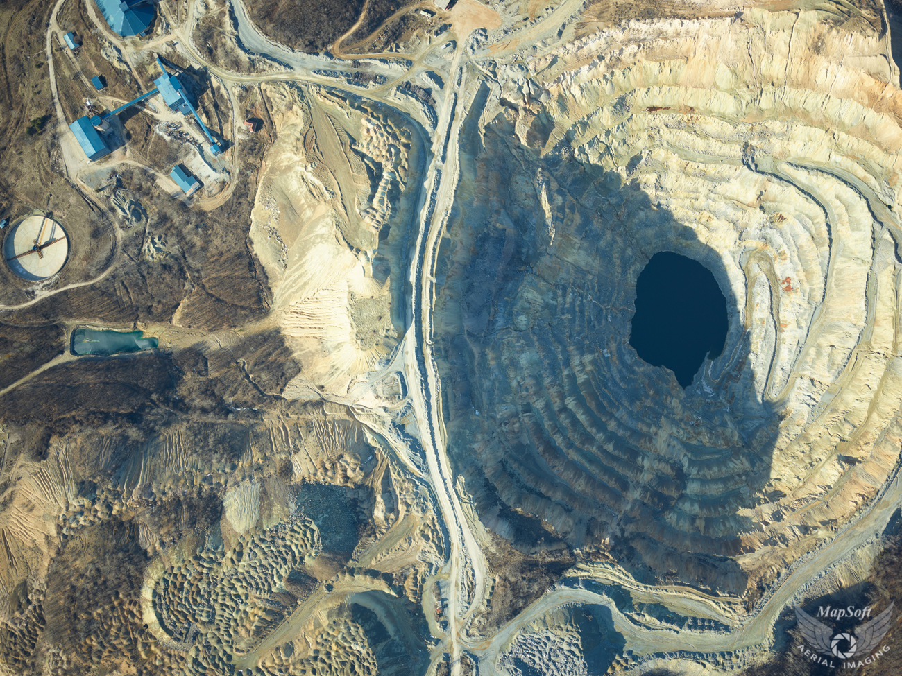
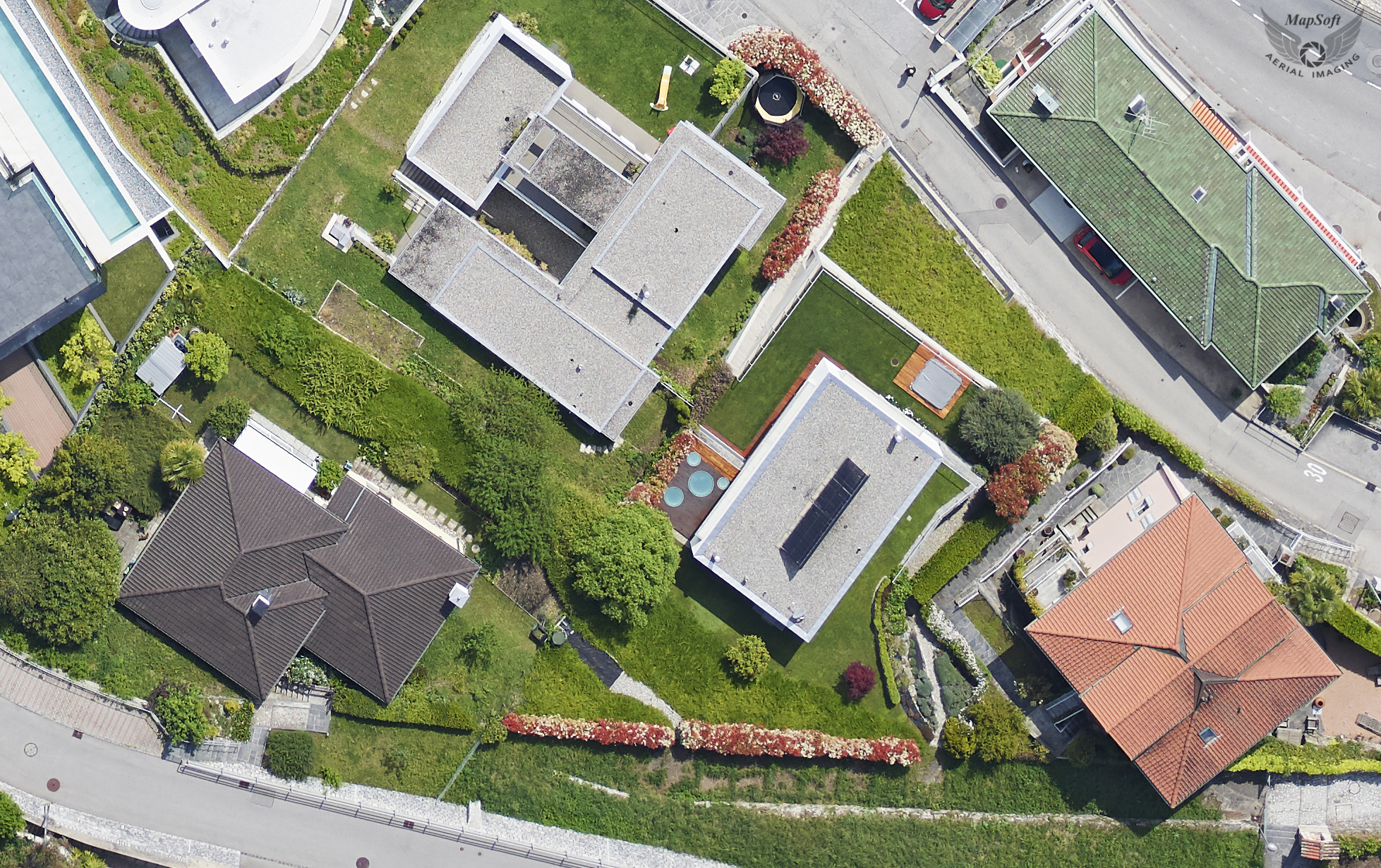
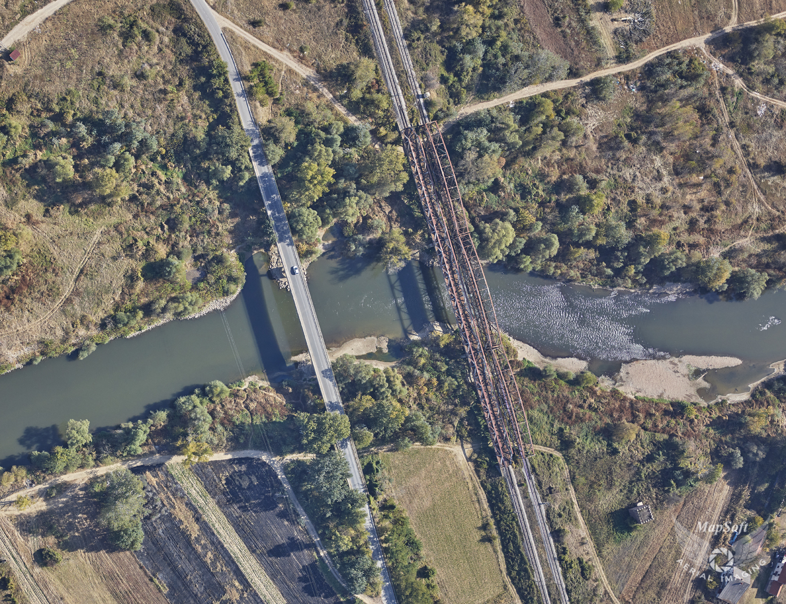
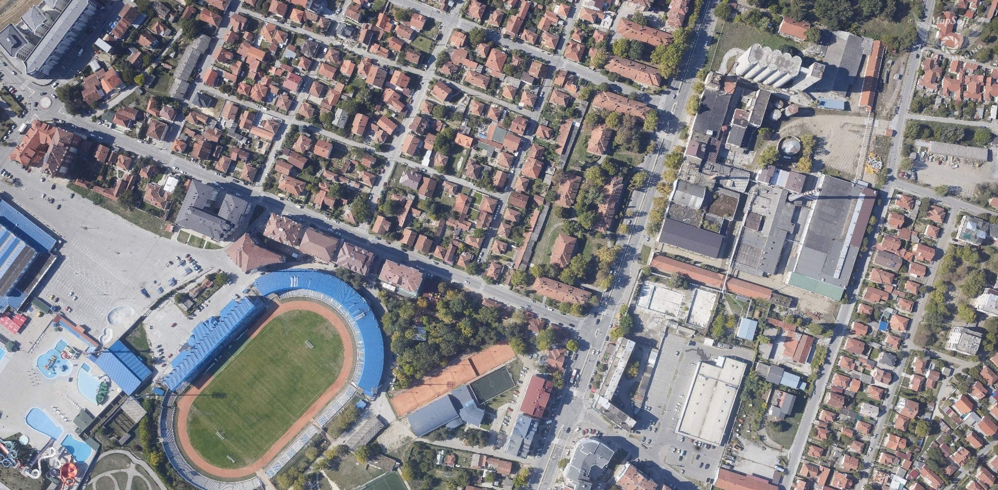
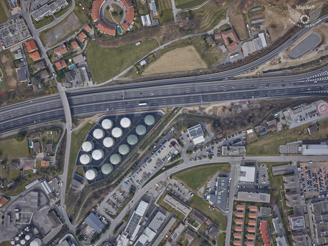
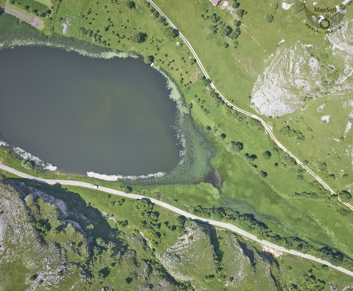
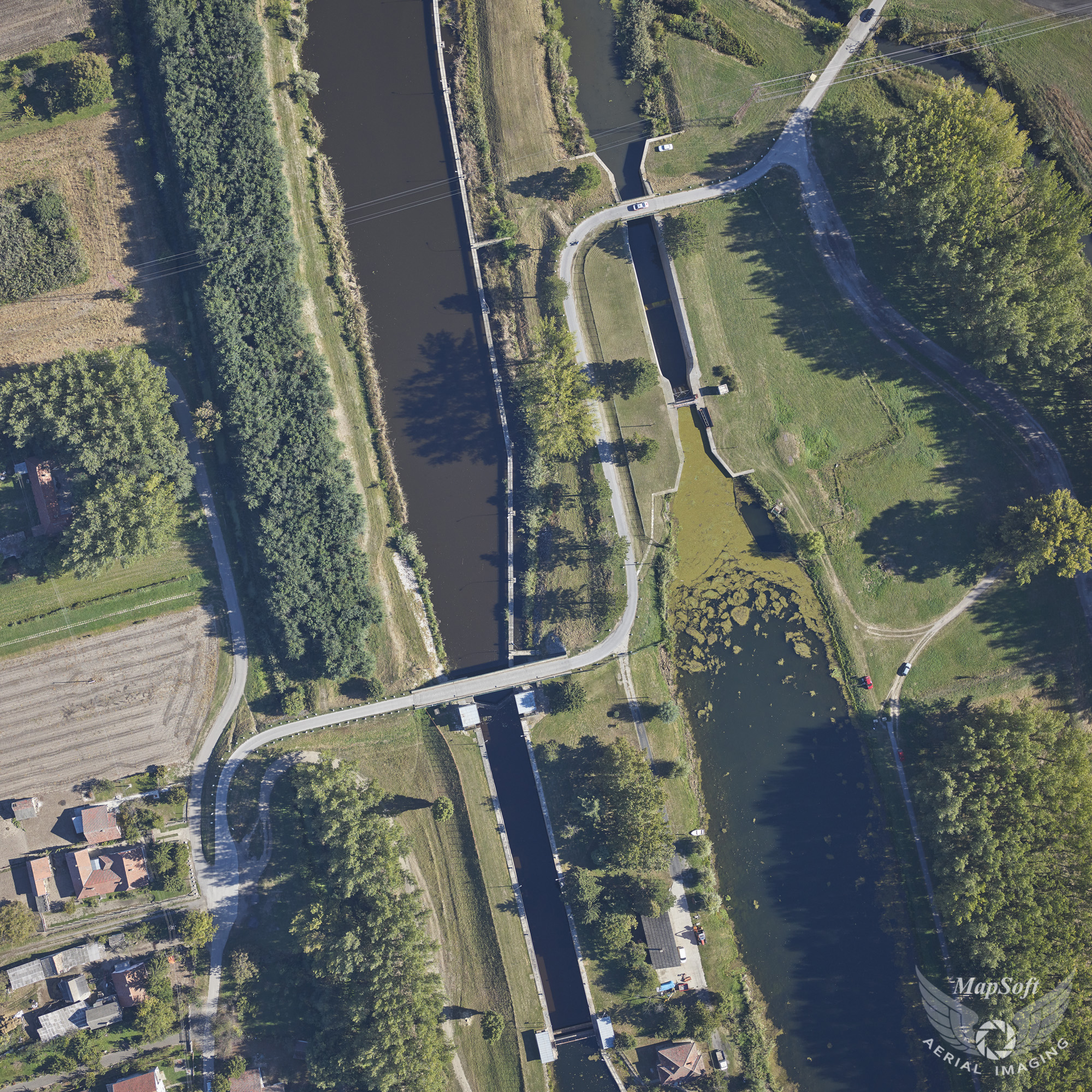
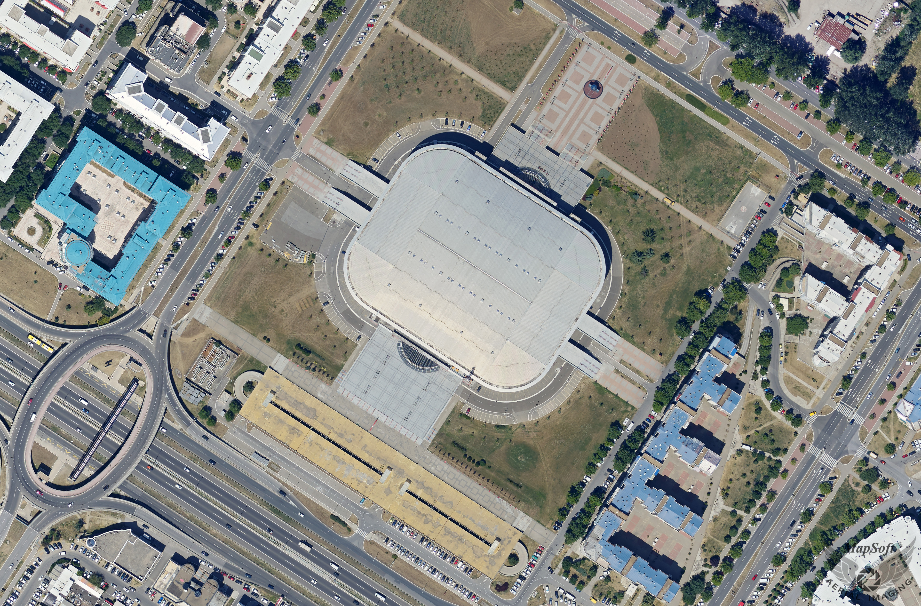
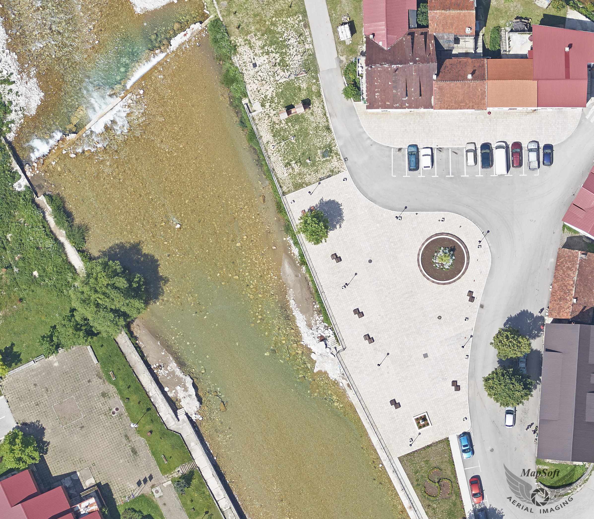
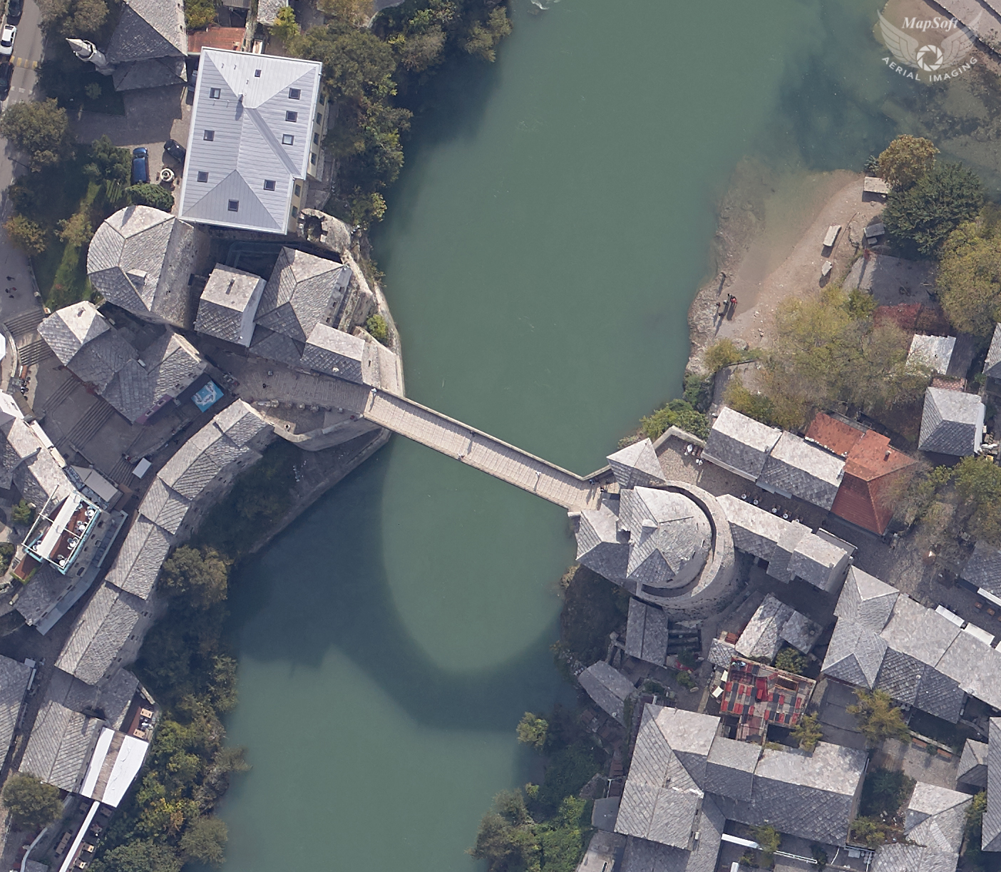
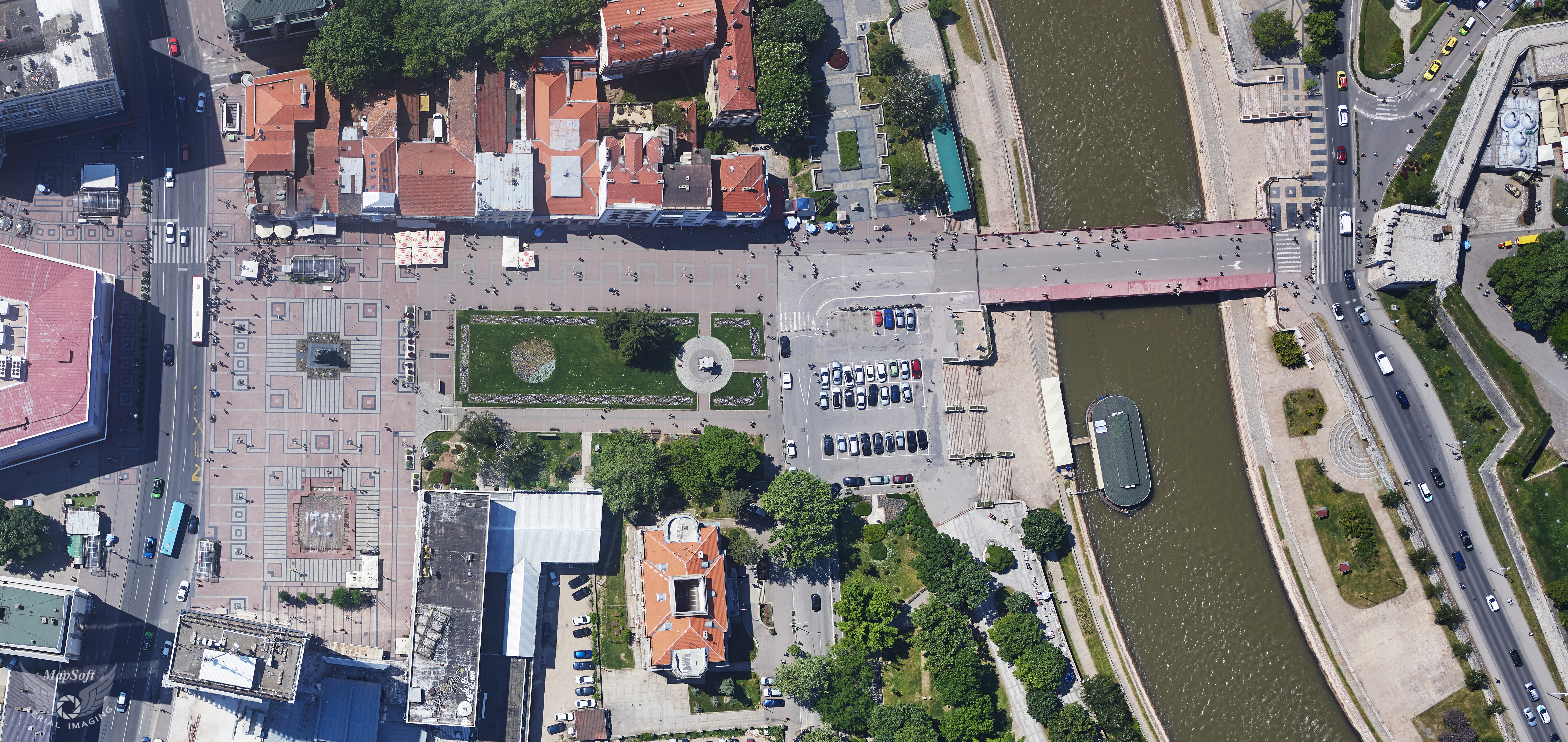
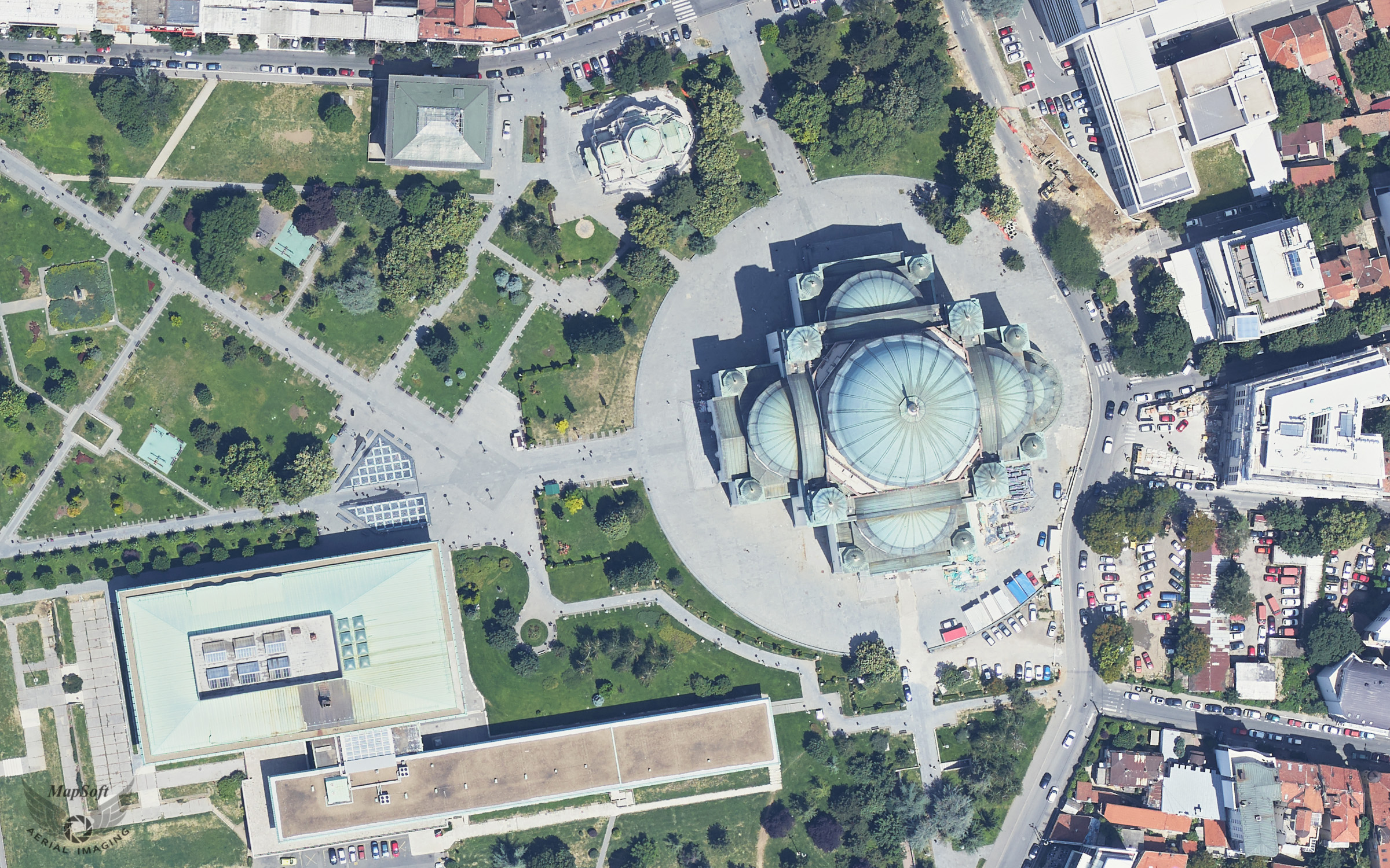
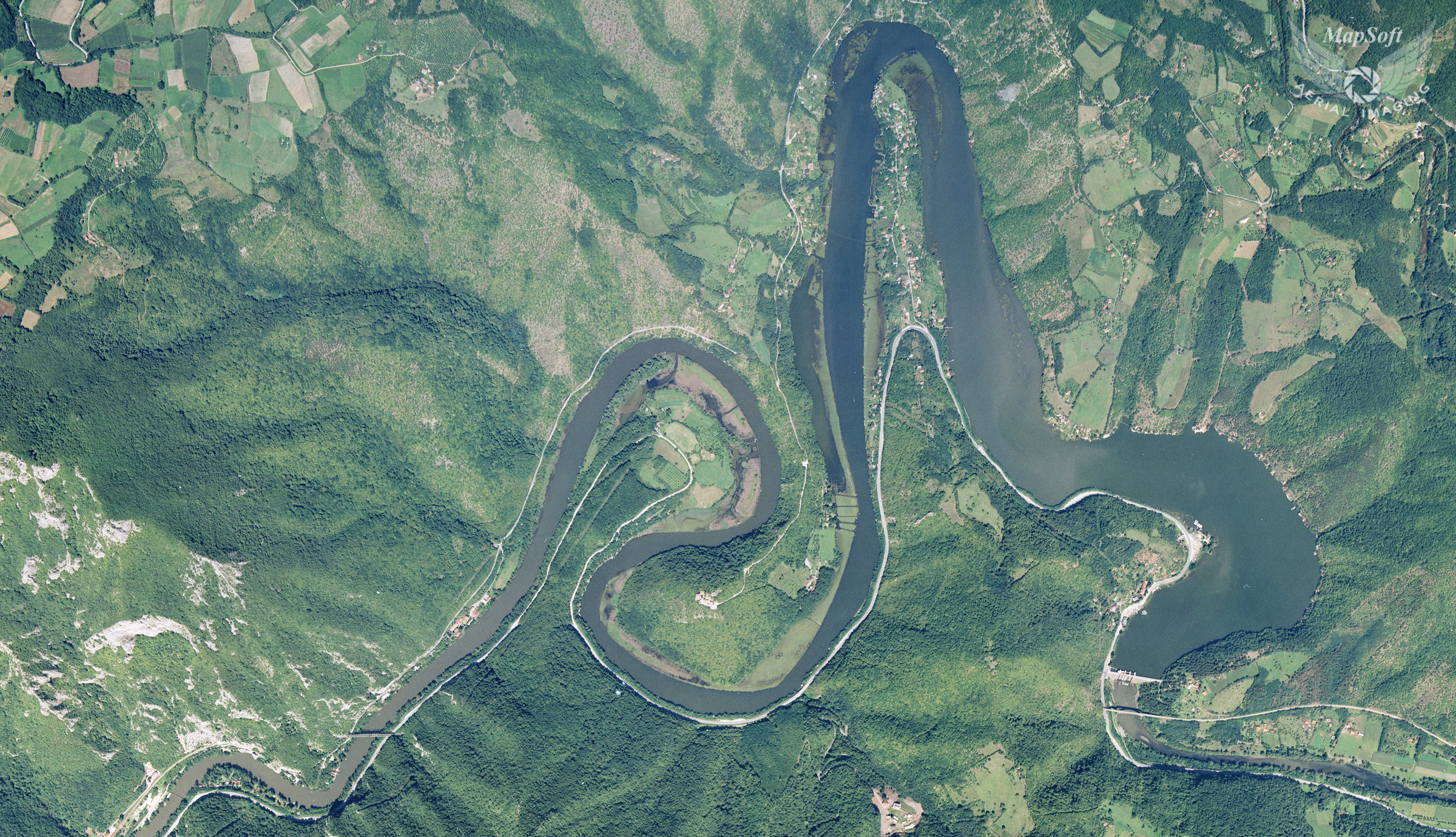
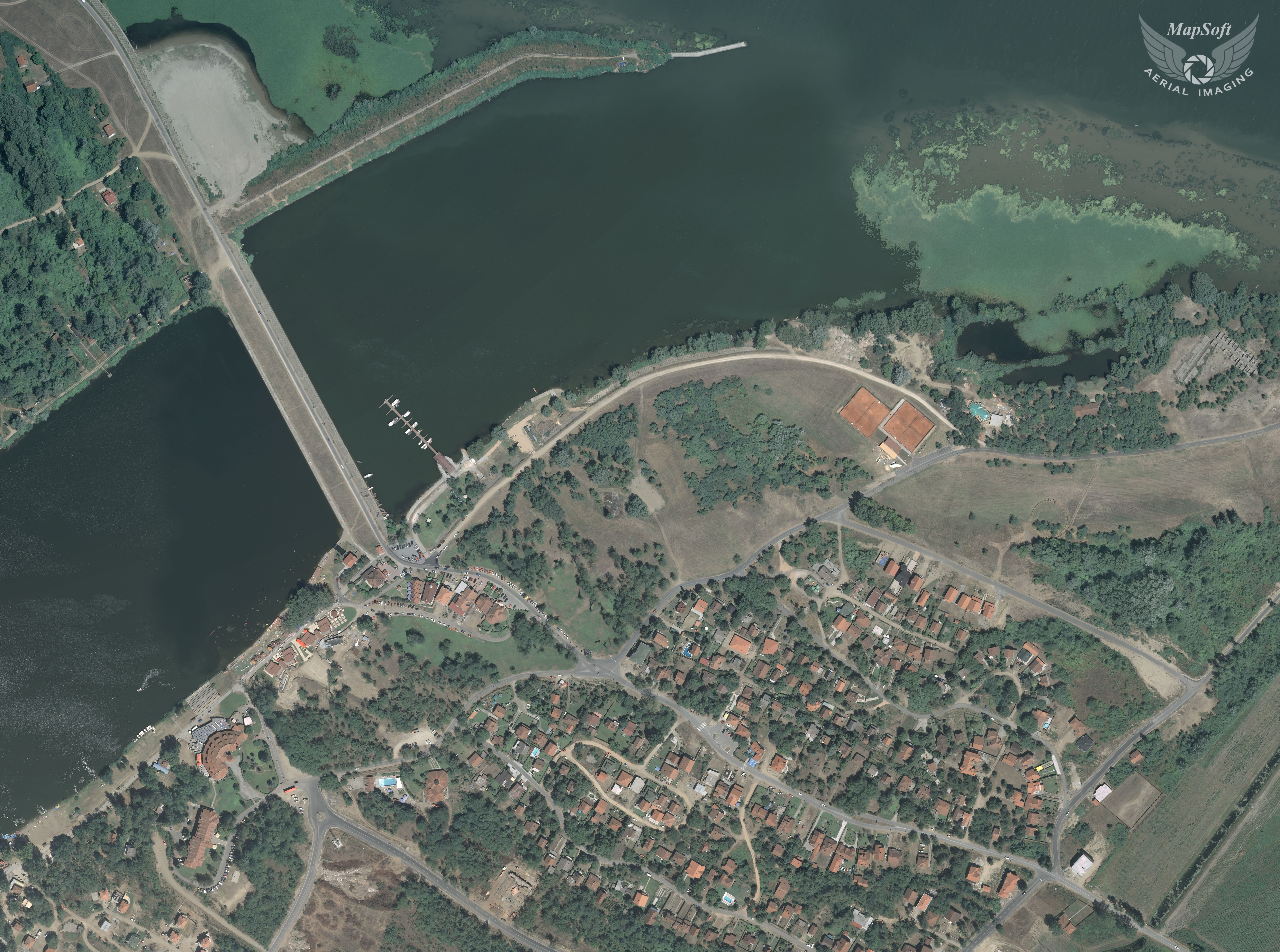
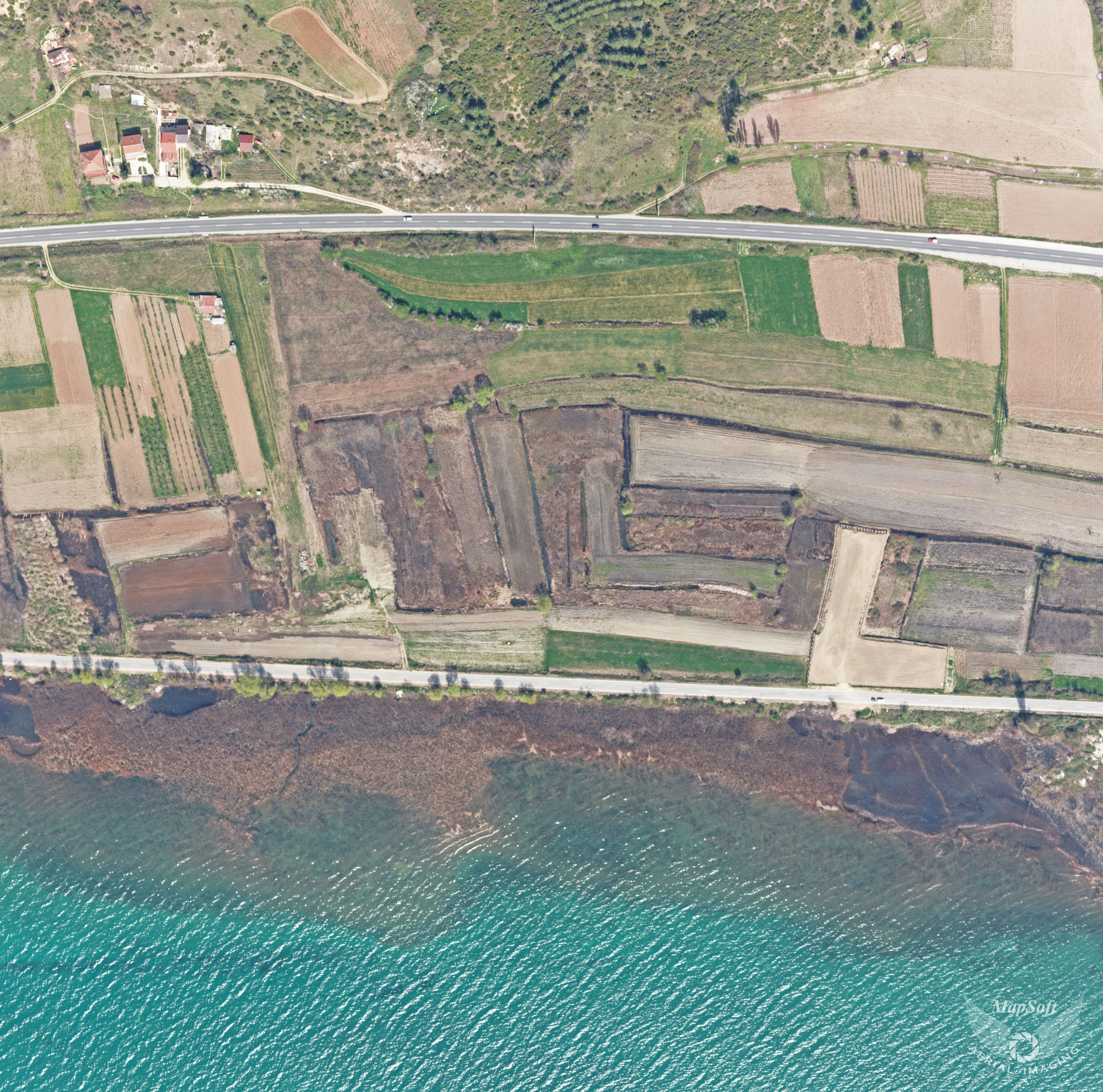
• +381 11 2456 330
  • This email address is being protected from spambots. You need JavaScript enabled to view it.

Orthophoto

Orthophoto is a digital topographic product which has a great wealth of information registered on the aerial image, but also all measurement capabilities of topographic maps. Selection of the appropriate resolution of the digital orthophoto (DOF) ie. pixel size in the field, provides a level of detail and accuracy that is required for specific purposes. On the other hand, selection of proper altitude of aircraft means an optimal balance between demands for DOF quality and its price. According to the client's requirements, timelines and required accuracy MapSoft can produce:
  • „fast“ orthophoto – based on automatic procedures – available in short time after finished flight missions and
  • „pure“ orthophoto – produced using verified DTM, seam lines, … - it takes more time.

Specification

  • Georeferenced raster in tiles
  • Standard raster file formats (GeoTIF, TIF+TFW, ECW, JPEG2000…)
  • 4 bands (RGB+NIR) or 3 bands combination (RGB, CIR,…)
  • Resolution 2 to 30 cm/pix
  • Color matching between adjacent images

Applications

  • Base map for any kind of GIS applications
  • Base map for cadaster (LPIS, tree cadaster, green areas and other)
  • Spatial planning and urban planning
  • Land use classification
  • Cartography

MapSoft orthophoto samples

Click to enlarge the image
  • Urban green area mapping - Nis, Serbia - 2018 - 7 cm
  • Mining exploration - Cerovo, Serbia - 2020 - 5 cm
  • Urban planning - Lugano, Switzerland - 2018 - 5 cm
  • Road design - Preljina, Serbia - 2019 - 5 cm
  • Oil plant reconstrution - Pancevo, Serbia - 2019 - 7 cm
  • Railway reconstruction - Juzna Morava River, Serbia - 2018 - 5 cm
  • Cadastre - Jagodina, Serbia - 2017 - 7 cm
  • Urban planning - Mendrisio, Switzerland 2019 - 5 cm
  • Hydrology - Komarnica, Montenegro - 2019 - 5 cm
  • Flood hazard - Vrbas, Serbia - 2019 - 7 cm
  • Flood hazard - Sanski Most, Bosnia and Herzegovina - 2018 - 10 cm
  • Urban planning - Belgrade Arena, Belgrade, Serbia - 2018 - 15 cm
  • Hydrology - Savnik - Montenegro - 2018 - 5 cm
  • Flood Hazard - Old Bridge Mostar, Bosnia and Herzegovina - 2018 - 10 cm
  • Urban green area mapping - Nis, Serbia - 2018 - 7 cm
  • Urban planning - Church of Saint Sava, Belgrade, Serbia - 2018 - 15 cm
  • Cadastre - Ovcar-Kablar Gluch, Serbia - 2004 -
  • Environment protection - Silver Lake, Serbia - 2006 -
  • Road design - Ohrid, Macedonia - 2011 -
  • Railway design - Subotica, Serbia - 2017 - 5 cm
© 2024 MapSoft d.o.o. All Rights Reserved.