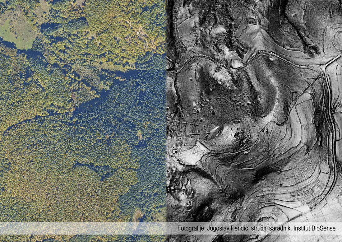
• +381 11 2456 330
  • This email address is being protected from spambots. You need JavaScript enabled to view it.

Archeology

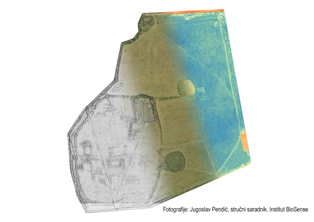
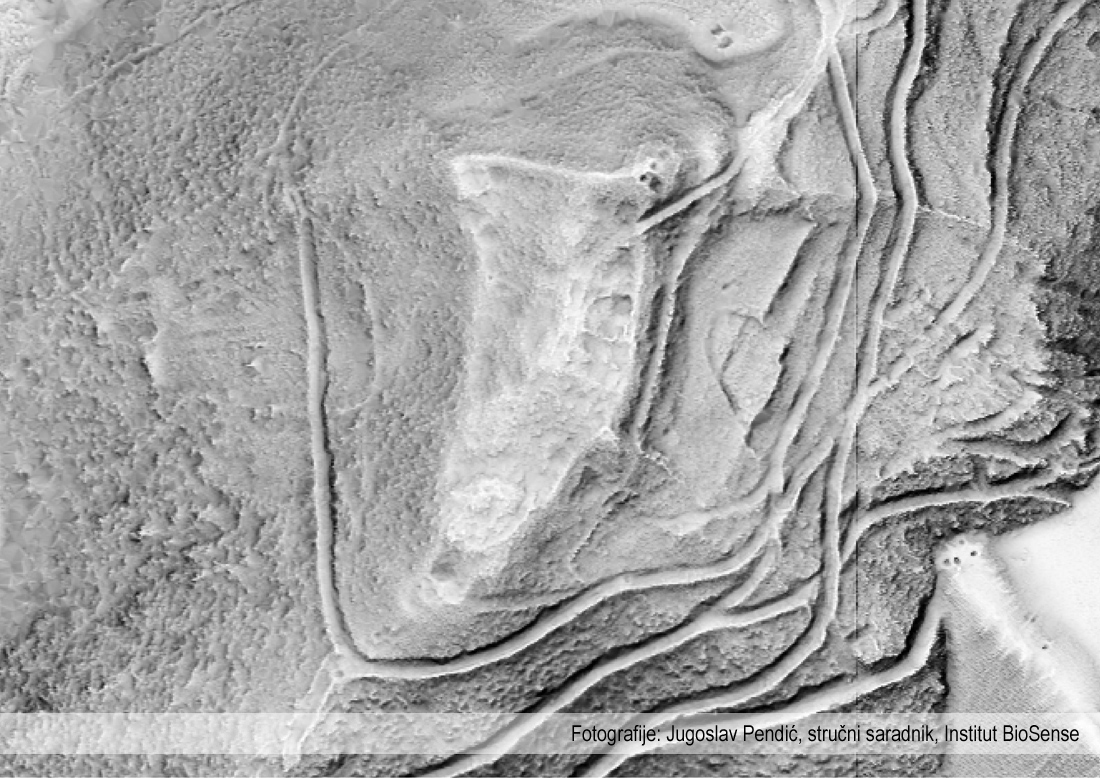
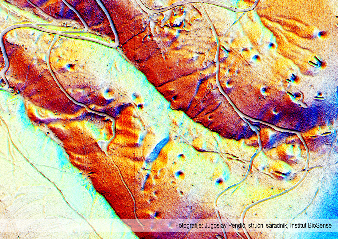
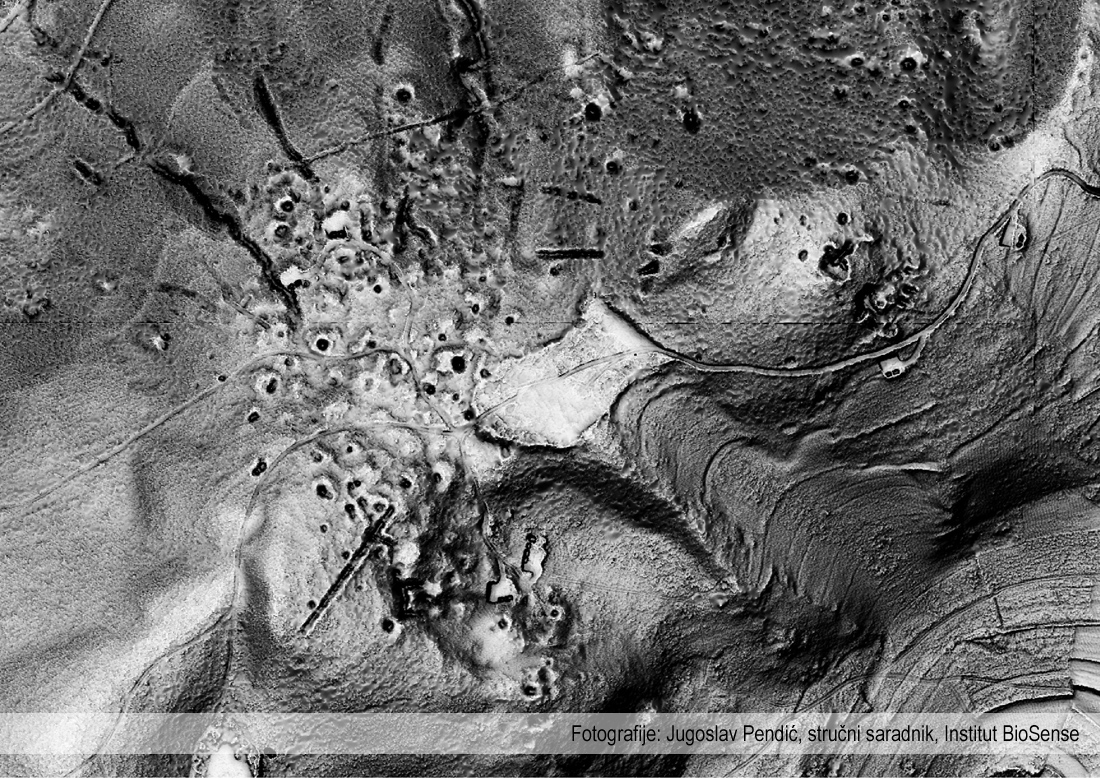
LiDAR is one of the most exciting modern tools in archeology today. Detecting structures in this way has changed the face of archeology by enabling the measurement and mapping of objects and structures that might otherwise remain hidden.
However, LiDAR does not only reveal what is hidden: it can also document what has already been found.

Example of products of importance for archeology

Click to enlarge
  • Basiana, Donji Petrovci - remains of the Roman city recorded with LiDAR technology (remains of fortifications and the city landscape)
  • Archaeological site in the vicinity of Raška. Medieval fortifications in Serbia are usually overgrown with dense vegetation. LiDAR technology removes this obstacle and allows accurate and easy mapping of architectural remains.
  • A mining exploitation zone that was used by the medieval Serbian state as well as the Ottoman Empire.
  • The mining area around Raška, mapped for the first time thanks to MapSoft's LiDAR measurements
  • The primary feature of LiDAR measurements is the ability to use and analyze only the responses obtained under the vegetation cover. Thanks to this, archaeological research has the greatest benefit from LiDAR measurements in hard-to-reach and densely overgrown areas, where both movement and access are difficult.

Projects

  • Archeological site Basijana
  • Archeological site Paulje
  • Archaeological complex Felix Romuliana, Gamzigrad
© 2024 MapSoft d.o.o. All Rights Reserved.