")
")
Land consolidation
Land consolidation
Land consolidation is a measure of re-arranging agricultural land, initiated for the purpose of enlarging agricultural holdings, construction of reclamation systems, construction of a network of field roads, construction of infrastructure facilities, anti-erosion measures, etc.
MapSoft and its partner have been implementing land consolidation projects in Serbia for many years.
MapSoft's land consolidations in numbers
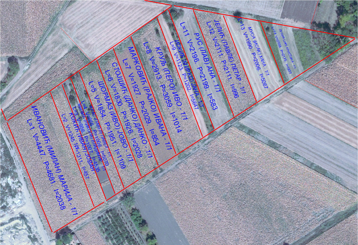
Complexity
The realization of land consolidation project lasts for several years, and it is carried out through a large number of phases, sometimes over 30 phases. It is a multidisciplinary project through which tasks from many areas are solved, so the implementation of these projects involves many experts: surveyors, lawyers, agronomists, hydrologists, urban planners, civil engineers, foresters, ecologists, archaeologists and many others depending on area specifics. Within these projects carried out by MapSoft and its partners, the state border was determined, bypasses and highways were designed, a national park was marked, a bridge positioned, areas for spa, recreational, industrial areas and many other important projects were determined for local environments and the state of Serbia.
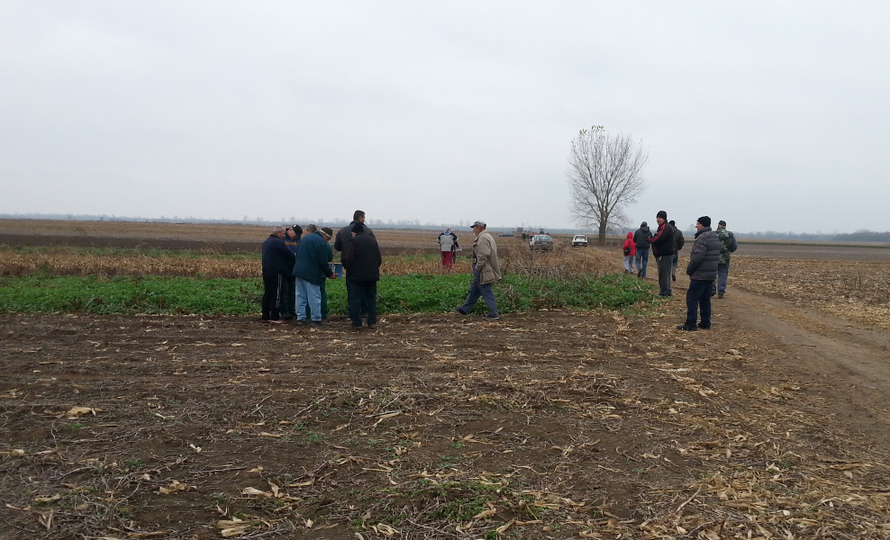
Main implementation phase
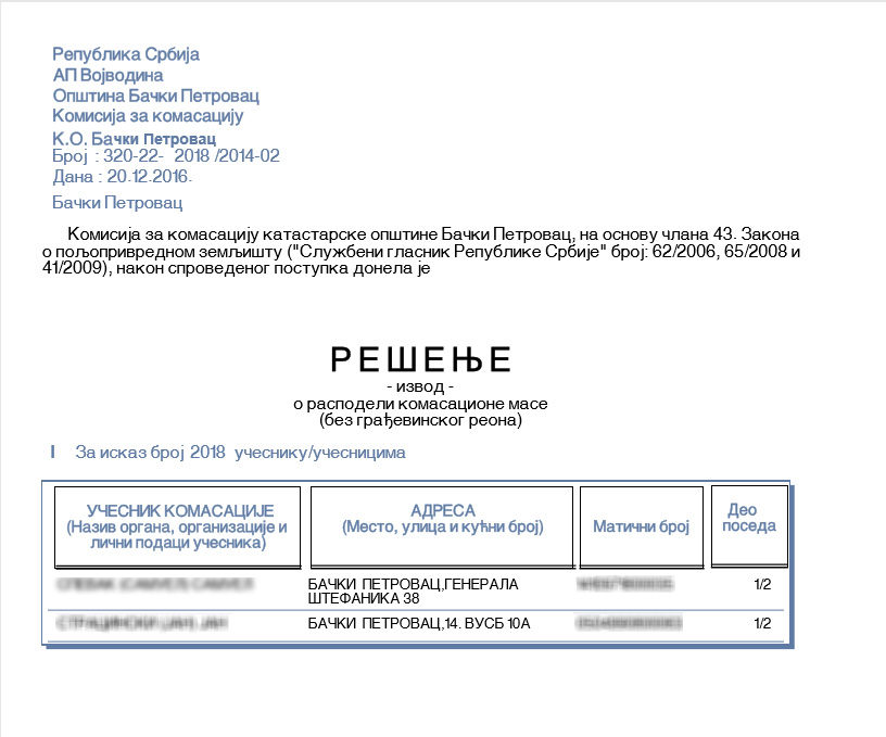
Benefits
- Enlargement of holdings: defragmentation of holdings significantly contributes to the reduction of agricultural production costs
- Optimal layout of field roads: leads to minimization of land consumption for this purpose
- Optimal distance of the property from the place of residence: reduction of transport costs that have a significant share in the total costs of agricultural production
- Construction of new reclamation canals: more efficient agricultural production, less weather-dependent
- Resolving property-legal relations: a safer real estate market
- Providing land for infrastructure projects: solving important infrastructure problems through the construction of bypasses, highways, landfills,...
- Digitization of the real estate cadastre: the process of real estate transactions is simplified, and thus the use value of real estate
- Improving the quality of the environment: conservation of habitats, care for endangered and other species of flora and fauna,...
Proces automatization
The whole process of land consolidation is accompanied by software support, primarily programs developed in MapSoft, but also some commercial software:
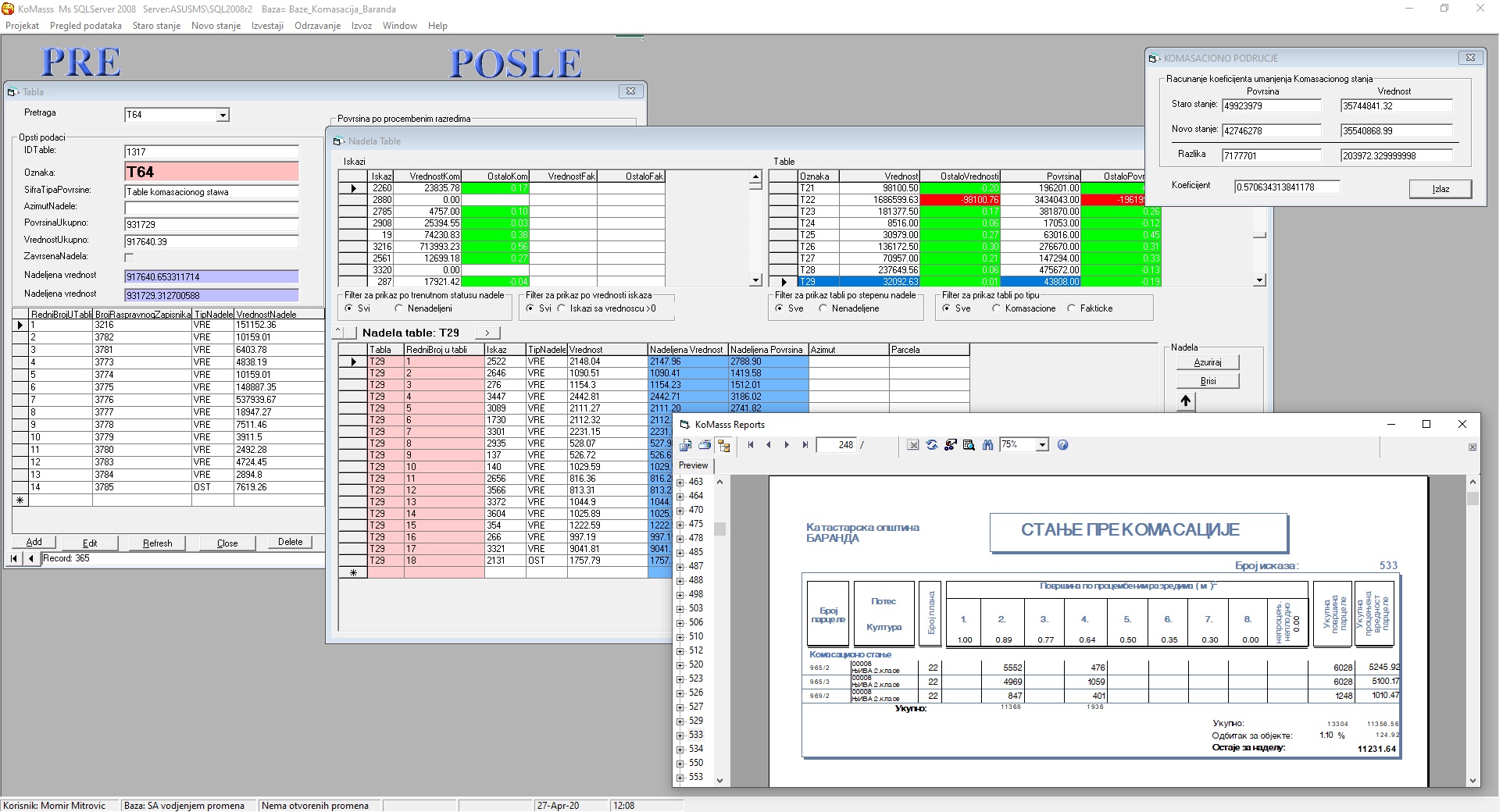
Komasss
MapSoft geoportal
Realized projects
- K.o. Maglić
- K.o. Opovo
- K.o. Nova Gajdobra
- K.o. Donje Vidovo
- K.o. Despotovo
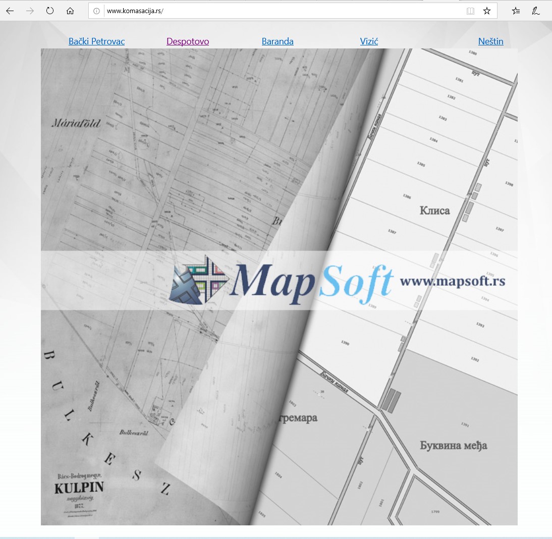
- K.o. Kulpin
On going projects
- K.o. Bački Petrovac
- K.o. Neštin
- K.o. Baranda
- K.o. Vizić