MapSoft publications

# 1
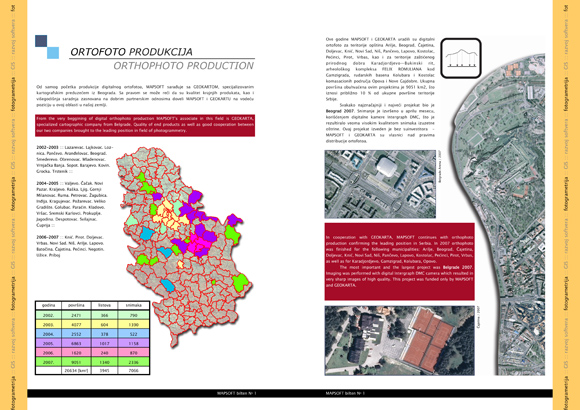
PUBLICATION 2007
Overview of orthophoto production and results in the field of terrestrial photogrammetry, development of DTK5, topographic maps and Belgrade utility cadastre database, GIS in local governments, start of new cycle of land consolidation projects in Serbia, web service Maps of Serbia, new version MapSoft 2007 and news in the field of location based services ...
Read...
# 2
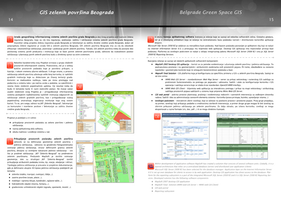
PUBLICATION 2011
More details about 3D Photo and PhotoSoft, orthophoto project Belgrade 2010, new aerial photography service, spatial data distribution system in EPS, initial steps in GIS of green areas of Belgrade and news on land consolidation, overview of MobTrack:24 fleet management solution,...
Read...
# 3
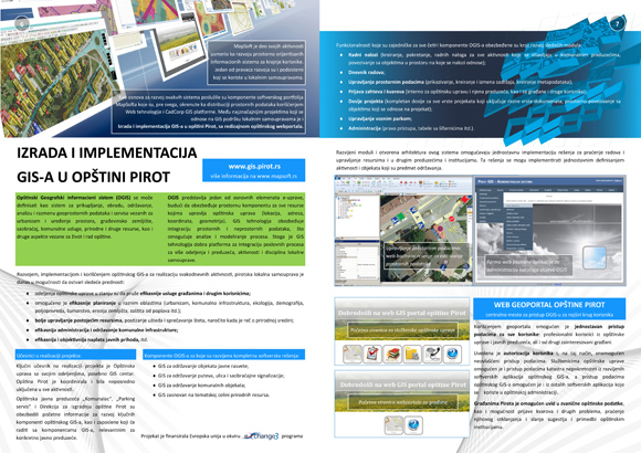
PUBLICATION 2015
About the production of topographic maps for the reconstruction of the Novi Sad - Subotica railway, rapid response during the floods in 2014, development of GIS in the municipality of Pirot, development of urban biotope evaluation system, data collection project and implementation in GIS of green areas of Belgrade, partnership with Cadcorp and further development of the MobTrack application, the new version of MapSoft 2012,...
Read...
# 4
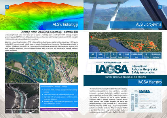
PUBLICATION 2019
About air quality GIS and GIS of environmental factors quality, application of INSPIRE data models and open source solutions, partnership with Pitney Bowes (Precisely), improved aerial and LiDAR imaging service and application of spatial data in various technical areas, as well as integration of MobTrack:24 systems with business systems of users and development of tools for dynamic routing,...
Read...


